An overcast morning was giving way to clearing skies for the afternoon, as I paid a visit to god's country in rural Delaware County to hike 3000 foot Hubbell Hill, another Catskill Hundred Highest peak. No marked or maintained trails can be found on this mountain, meaning it would be yet another bushwhack hike. In my quest to hike all of the hundred highest Catskill peaks, today would be my 90th(90/102).
Thompson
Hollow Road marked today's starting point for this 4 mile journey.
These Delaware County back roads rival just about anywhere else for
sheer beauty. As I left the car, I entered open fields that were nearly chest high with weeds in spots. The rolling hills and farmland along Thompson Hollow Road made for a gorgeous scene to start my hike.
Abundant wildflowers made for an enjoyable stroll through the thick meadow.
The breathtaking Archibald Cemetery is not even 100 yards away from the road and is certainly worth a visit.
I'm not too good with my flora and fauna, but I do know that these wildflowers really caught my eye on my way through.
Just down the hill from the cemetery, I picked up a woods road heading east. In my research for this peak, I had read that the brook crossing over the Platte Kill could be tricky in high water, but low water levels today meant an easy hop, skip, and a jump across.
A nearby farm can be seen peeking out from above the tree tops, as I slowly gain elevation through the hay fields. The woods road was very faint in these fields, but luckily I managed to stick with it.
Stone
walls can be found nestled throughout the woods on many of these
Catskill Hundred Highest peaks. It only adds to the charm of these
beautiful mountains.
Although no "million dollar" views were to be found, there were many pleasant views towards the nearby surrounding peaks.
Mid June finds the fern glades wearing their vibrant greens.
From the edge of this meadow, I could see the Pisgah/ Little Pisgah ridge to the west.
From the top of the last meadow, I finally entered the woods, where an obvious woods road helped me with my ascent.
The woods road was very good, mostly clear of debris and heading UP, so I stuck to it. Eventually, at about 2500 feet elevation, the woods road petered out.
Lean on me. This tree is leaning on this rock...or the rock leaning on the tree?
Once above 2500 feet, it was a bushwhack straight up towards the summit. At about 2850 feet I came to a large, flat, plateau area. Thought this was kind of neat. From there, however, there was one last steep push towards the top.
The DEP land extends all the way up to the last contour line of the mountain, meaning that the true summit is private. I went as far as the property line, considering it a summit attained. From there, I decided to change things up, heading north to small parcel of state land that connects to the DEP land.
I wandered around the state land for a bit, trying to find a surprise view or something of note, but didn't find much, so bushwhacked back down through the open woods, back onto DEP land.
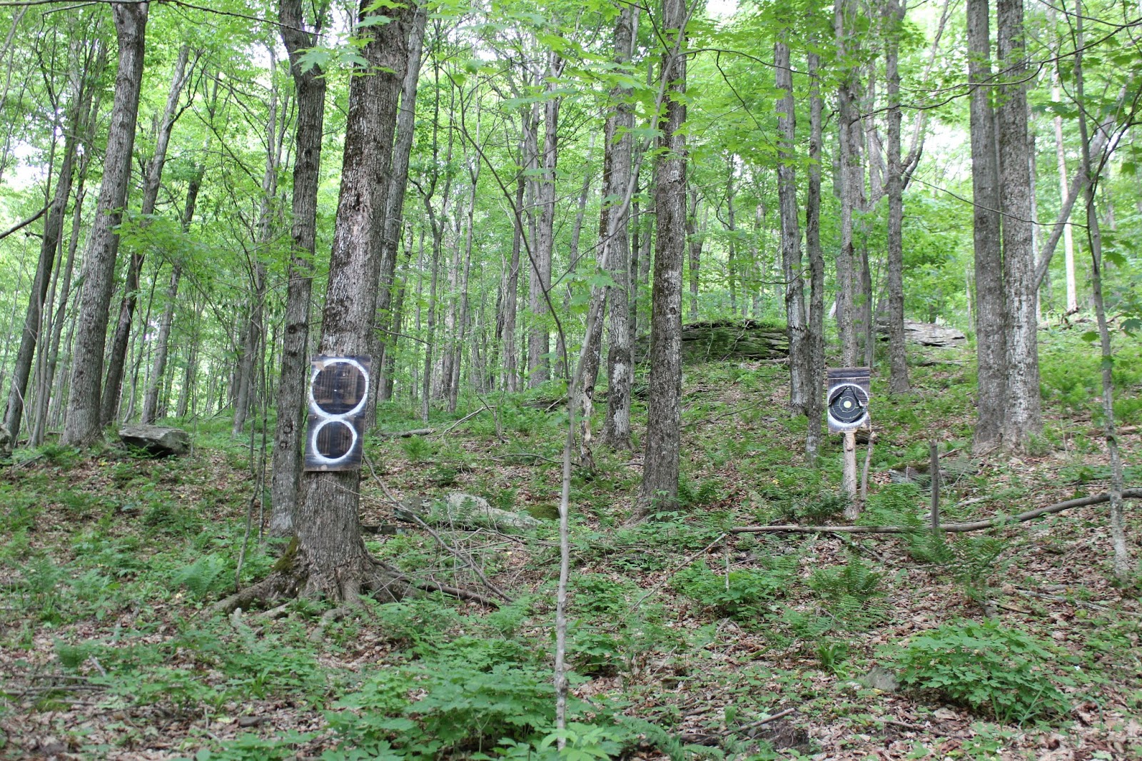
You really never know what you may find in the woods(especially off trail). I stumbled upon these shototing targets on my descent. I guess these woods see more than just hikers.
Crossing back over the pretty Platte Kill.
Crossing the open fields back to my waiting car on Thompson Hollow Road, with a last look back at Hubbell Hill's ridge to the east.
Hiked about 4 miles RT, with 1300 feet elevation gain. I now have 90/102 for my Catskill Hundred Highest!


I started working on the hundred highest this winter. I have had a hard time contacting landowners for access. How did you manage it?
ReplyDeleteThe landowner for Little Pishgah was very helpful.
Steve Siegard
(518) 788-8920
ssiegard@gmail.com
Hi Steve!! Glad you are working on the Hundred Highest, it was certainly one of the hiking highlights of my life! Opened the door to so many places I never knew existed in the Catskills. Unfortunately you are right, the private peaks are the most difficult part of the list. I was blessed to have friends of friends who knew many of the land owners and had gotten permission. Sometimes it came down to looking up tax maps or simply knocking on doors. Most people were actually quite nice and cordial. Best of luck in your endeavor!
DeleteThanks. I found the tax maps for Delaware county very difficult, though the county staff in the tax department tried to help with what they could.
Delete