The trail basically circles around the pond, offering up a quiet spot to soak in the nature.
Continuing past the pond, I picked up the South Trail, which crosses Sloan Road and enters a large field beside a beaver swamp. From here, the view of Brodie Mountain to the south is quite impressive.
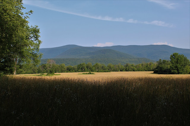
I wandered around in the open fields, admiring the views of the nearby surrounding mountains. Just to the west, the Taconic Range can be seen rising above.
From the trail along the beaver swamp, the Taconics appear much closer. Misery Mountain, a long ridge with several small summit bumps, makes up this part of the Taconic range.
Back across Sloan Road, I picked up the North Trail, which follows a wide, mowed path through wide open hay fields. The view north provides a small glimpse of the mountains in neighboring Vermont.One of the very best things about hiking through these hay fields, are the unimpeded views. Here is a good look at an east ridge of Misery Mountain across the fields.
The North Trail does briefly enter into the woods, where I captured this framed view of the Taconic ridge to the west.
Once on the west side of the hay fields, the views towards the Greylock Range become downright spectacular.
The area just west of Greylock's summit is called the Hopper, and can clearly be seen from this vantage point.
The North Trail eventually loops back to the parking lot, making for a nice, easy stroll. About 2.3 picturesque miles total on a warm summer day in the northern Berkshires.


No comments:
Post a Comment