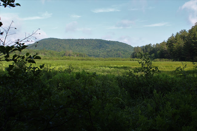
A well developed herd path heads into the woods, first arriving along the boggy south side of Chub Lake with a nice view of Trout Lake Mountain.
Continuing along the herd path we began to see the actual water in Chub Lake, with today's destination, Sherman's ridge rising beyond.
We were quite amazed at how well maintained these unofficial trails are, with cut logs for ease of access in spots.
There are rock climbing trails that head towards the cliffs on Sherman, but we wanted to make our own route, so we bushwhacked steeply up towards a band of cliffs on Sherman's west slopes.
As we got closer and closer to the cliffs, the more impressive they got. They were towering above us and we needed to find a way up.
We located a "chimney" like crevice in the rocks, which we used as our way up. It got very steep and narrow at the top, but we managed.
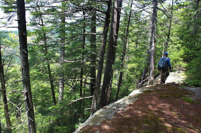
Soon enough we were seeing views through the trees with a dangerously steep drop off below. We circled these ledges, soon arriving at a small opening in the trees.
A scant hundred feet away from the first opening, an open ledge area provides much broader views. Chub Lake Mountain is the bump to the left and the lake itself in the center(closer body of water), with Good Luck Lake in the distance just beyond.
State Brook Mountain rising directly above Route 10.
A look at the viewpoint, which also made a perfect lunch spot.
Outstanding west views towards the west ride of Sherman and Trout Brook Mountain.
After leaving Sherman's cliffs, we followed a red blazed unofficial trail down to a low spot of about 1800 feet, before ascending gently up the slopes of Chub Lake Mountain. Nearing the summit, we hit this large fern glade.
After hitting the wooded 2109 foot summit, we continued on to a small set of ledges just off the summit.
Although these ledges don't offer anything close to the views on Sherman, there are pleasant views southwest towards State Brook Mountain.
Good Luck Mountain rising across the valley to the south.
Made a friend near Chub's cliffs. He was a bit shy at first but then really opened up.
A quick, fairly steep drop brought us right back down to Route 10. A short walk found me washing up in the West Branch of the Sacandaga to try to get rid of some of the sweat, dead bugs, and dirt.
A perfect intermediate hike in the midst of a heat wave. About 6 miles RT with 1450 feet elevation gain.


No comments:
Post a Comment