Headed down to the Catskills today to hike Blackhead Mountain, the easternmost peak in the Blackhead Range. With an elevation of 3940 feet, it is (along with Tomas Cole Mtn), the 4th highest peak in the Catskills. There are several different options on ascending this range, and it is very common for hikers to grab all three peaks(Blackhead, Black Dome and Thomas Cole) in the range at once. The day began cloudy, but was forecast to clear up as the day went on.
Big Hollow Road is only plowed to the last house during the winter, meaning that must park your car along the road and walk to the trail head about .2 mile down the road. The trail begins to climb very gently for about half a mile crossing over the Batavia Kill on two well built foot bridges.
At half a mile a trail junction offers a couple of options. I chose to stay left and hike the Batavia Kill Trail. After another .75 mile I arrived at the Batavia Kill Lean to.
It is a basic shelter with a fire pit in front of the lean to.
The trail climbs steadily for the next .3 mile to the escarpment trail where more evergreen and spruce begin to make an appearance.
There are several good views along the escarpment trail to the east and screened views south down to Dutcher Notch.
The trail begins to climb more steadily through large boulders. Footing is important here and micro spikes are necessary this time of year.
From a small lookout spot called Yellow Jacket Lookout just a few feet off the trail are great views to the north, east and southeast. Here is a view northeast with Acra Point being the prominent peak.
Views southeast into the Hudson Valley from Yellow Jacket Lookout.
After leaving the lookout spot, the trail begins to steadily climb again and you soon see a 3500 foot sign.
A short distance beyond the 3500 foot sign and after climbing even more, some views really begin to open up to the north and east. Acra Point and Burnt Knob can be seen clearly.
Climbing very steeply now, each time you turn round the views continue to open up. Cairo and Catskill make up the valley floor far below.
Footing is extremely important through this area. The winds also became much stronger through here.
The Cairo countryside spreads out far, far below.
I really had to take my time through this section, but the views were simply incredible.
The climbing is pretty continuous through this section. I had to grab trees or boulders to maintain my balance at times.
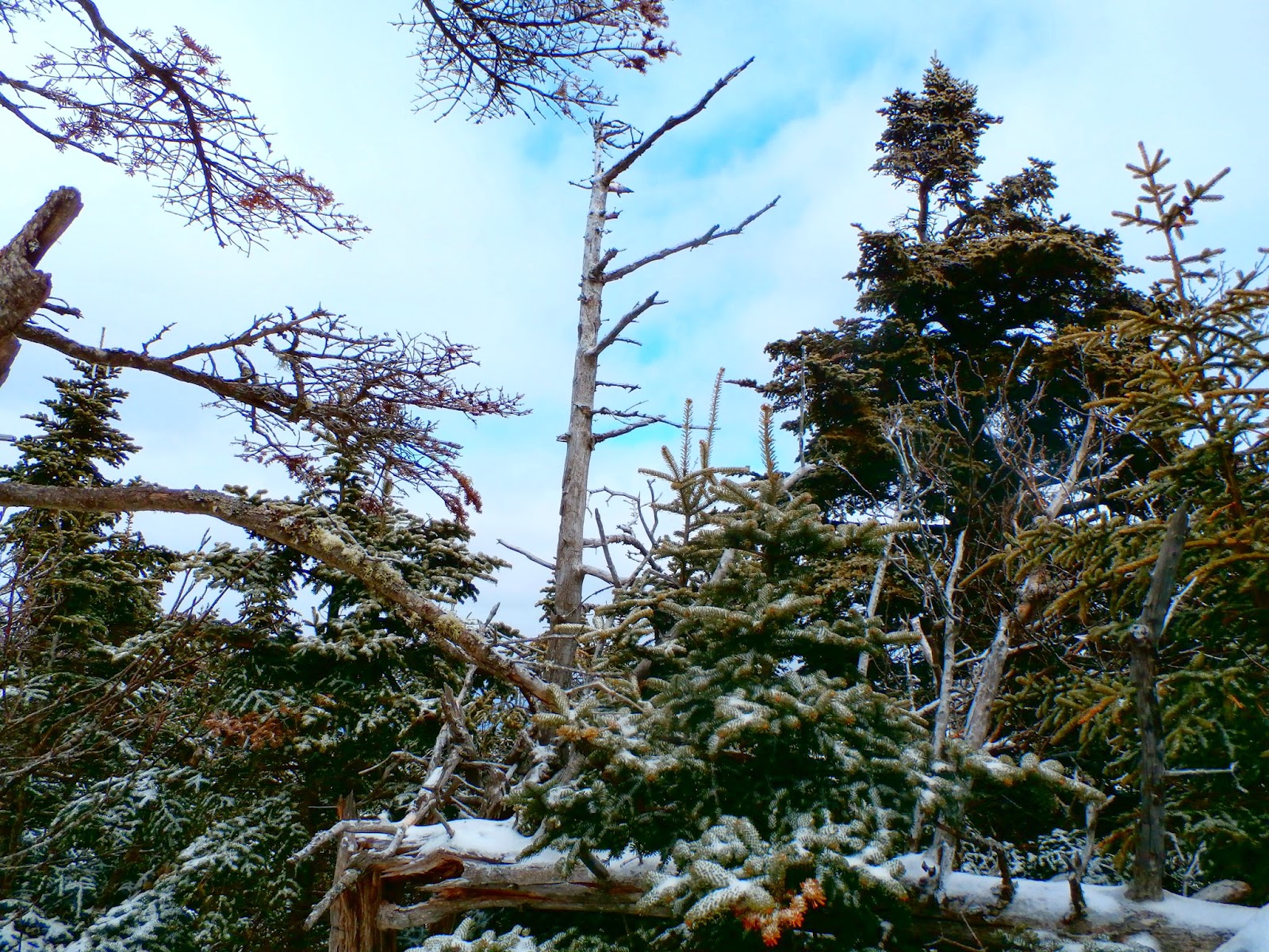
Thick stands of evergreens, weighed down heavily by ice and snow become a prominent feature along the trail from here.
Northwest views through an opening in the evergreens.
The evergreens become even more dense as the climb nears the summit area.
A three way junction greets you in the small clearing at Blackhead's summit.
Views from the 3940 foot summit aren't great, but it is a magical place, looking out across the tops of the evergreens.
After the summit area, the trail finally levels off for a bit and continues through ice and snow covered stands of evergreens.
Walking through this area is truly an enchanted feeling. Almost like walking at the top of the world.
A sliver of a view opens to the north through trees.
As the trail begins to descent again, spectacular views of Black Dome Mountain(3980 feet elevation) arise before you.
To the northwest of Black Dome are some of the smaller Catskill peaks and rolling hills of northern Greene County.
A closer look at Black Dome's summit shows snow covered hardwoods making up the lower 3/4 of the mountain, while thick stands of spruce make up the summit area, hence the name "Black Dome".
A short distance beyond, amazing views into the heart of the Catskills and Devils Path can be seen.
The ski slopes of Hunter Mountain stand out in the distance.
A look down the VERY steep and icy trail.
Many of the Catskills highest peaks can be seen to the southwest. Hunter, Plateau, West Kill and the Burroughs Range can be seen rising in the distance beyond the southern slopes of Black Dome.
Many prominent Catskill peaks to the south.
After carefully making my way down the steep western slopes of Blackhead Mountain, I soon arrived back at 3500 feet in elevation.
The trail leads to a col between Blackhead and Black Dome Mountain. Here is a view looking back where I just was on Blackhead Mountain.
Although Black Dome's summit was only .6 mile from this col, I knew it was extremely steep with rock scrambles, making it a long, tough climb. Due to dinner plans, I chose not to ascend any further today, but will plan to bag Black Dome and Thomas Cole(just .8 mile beyond Black Dome) on my next visit. From the trail junction in the col, I headed back down the red blazed trail 1.7 miles back to the car. Several more views towards Windham High Peak in the north, made the first .3 mile descent very pleasant.
The trail continued to descend steadily through mixed hardwoods and eventually arrived back at the Batavia Kill Trail where I began. Although many sections were buried under ice and snow, the Batavia Kill pleasantly flowed along the trail near the lower sections of trail.
The sun began to come out as the trail leveled out and I made the last push towards the car.
One of the foot bridges, built post-Irene over the Batavia Kill.
The section of Big Hollow Road that is navigable during the summer, actually makes for pleasant walking.
A great 5 mile RT loop to one of the Catskill's highest peaks, made for an outstanding day in the woods.


No comments:
Post a Comment