I followed the blue trail for a few hundred feet and then quickly turned left onto a one mile yellow marked trail which climbed steeply towards Bear Knob. The trail, is well marked but rough and can easily be lost.
Climbing up towards blue skies.
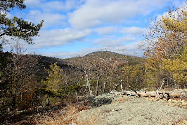
An open rock area provides a view of nearby peaks.
The true summit of Bear Knob.
After reaching the summit of Bear Knob, I followed the yellow trail steeply down to the east towards the blue trail again. Once on the blue trail, I crossed an icy brook and then followed wide, old woods road.
Found some rusted old equipment in the snow.
The blue trail travels north on level woods roads for a distance before turning west and climbing steeply up Middle Mountain's slopes.
Looking back to the east on a steady, steep climb.
There are broken views through the trees near the top of Middle Mountain.
Views to the west towards Walnut Ridge from Middle Mountain's steep ledges.
The trail drops steadily down between the two ridges and skirts the bottom of Walnut Ridge's upper slopes.
After a steep climb up to Walnut Ridge, I soon arrived at a long, open rock in a clearing.
Followed the ridge line out to a phenomenal view of Northwest Bay and Lake George.
Sun soaked Lake George.
Looking east towards the nearby peaks of the Tongue Range.
After enjoying the views atop Walnut Ridge for a few minutes, the trail drops very steeply down down towards Pole Hill Pond. Good footing is essential on this descent, especially in winter conditions. Arriving at a trail junction, where I continued towards the pond. The trail to Padanarum Road shouldn't be taken because it crosses private land.
The trail soon nears the pond and passes a small, informal campsite.
A beaver pond along the long southern end of the pond.
The trail winds along the east and south ends of the frozen pond, where there are some nice views to the north over the quiet water.
After leaving the pond, the trail follows an old woods road southeast for nearly 2.4 miles, paralleling Pole Hill Pond's outlet nearly the entire way. Here is a spot where the trail actually crosses the outlet.
Tumbling frozen cascades.
A better look at Pole Hill Pond's outlet as the blue trail soon bends away from the water.
Followed the blue trail uphill for a distance east until meeting back up with the yellow trail, which leads another .3 miles back down to the trailhead. Hiked about 6.2 miles RT on a beautiful early February day. Didn't see another person the entire time I was out.


No comments:
Post a Comment