Had a busy morning running errands today, so I didn't have any free time until noon or so. I did a quick check of the radar and looked like a lot of uncertainty to the west(both south and north), so I chose to head east towards the Pioneer Valley of Central Massachusetts to hike popular Mount Holyoke. Although not the highest mountain(summit elevation is only 942 feet), Mount Holyoke is an extremely popular peak due to a paved road which leads to the top, many open picnic areas, a summit hotel and multiple trail approaches that all provide outstanding views. I got started from the parking area just north of the park along Route 47(Hockanum Road). The trail starts just past a wooden gate and kiosk.
Followed a blue blazed trail south under sunny skies and a canopy of hardwoods.
There are unmarked paths and old roads that wander throughout the woods, but most all head up. After about .2 of a mile I came to an intersection where the yellow marked Taylor Notch Trail heads straight and the blue blazed Conglomerate Rock Trail heads right. An unmarked trail heads left(east), so of course the adventurous side of me opted to head out on the unmarked trail. This trail ascends slowly then steadily up to a rocky old quarry.
The trail peters in and out and is completely gone at times, so I just decided to head straight up through the steep woods.
A final push through hardwoods to the Metacomet-Monadnock trail, which crosses the entire summit ridge.
Once on the M-M trail, I made good time heading west along an area known as the Seven Sisterson the easy to follow white marked trail.
The trail climbs up and over a small, unnamed 897 foot peak and then down and back up to a nice view to the west. The Connecticut River is the most prominent feature.
Another view opens up a bit further along the trail, with an outstanding look at the Mount Holyoke summit area.
Looking over the southeast shoulder of Mt Holyoke from the same vantage point.
Continuing on the M-M trail, I soon dropped down into an area known as Taylor's Notch(elevation 650 feet), where the trail crosses over the paved vehicle access road.
A large rock pile.
The final .2 mile up to the summit provide filtered views from the steep slopes near the trail.
Emerging at a large, open clearing just below the summit with picnic tables and benches. This area is a nice spot to catch your breath and soak in the incredible views.
Continuing the final 100 yards to the summit, I passed this nice framed view.
Arriving at the summit, complete with the summit house. The views from here are jaw dropping.
The summit house itself was closed, but you can walk onto the large wrap around porch to enjoy the incredible vista. A small picture and map show you what features(mountains, river, villages)you are looking at.
A great view down to a speed boat on the Connecticut River.
Looking southeast over the summit parking lot.
The true summit.
An amazing vista with views all the way into Vermont to the north and Mount Greylock to the west.
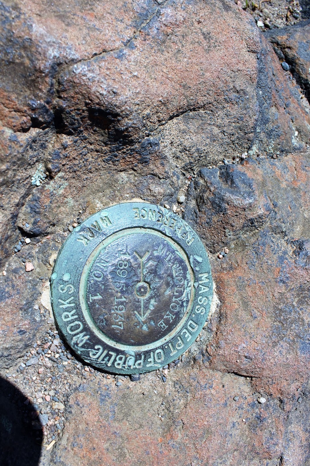
Summit elevation is 942 feet.
I explored the summit area and found this southeast view just above the treeline.
A memorial to fallen soldiers who were unfortunate plane crash victims.
Heading back to the first view point, I stopped to relax and enjoy one last view over the Pioneer Valley.
A bend in the Connecticut River.
I followed the M-M trail back off the summit down to the auto road, and then turned left onto the yellow marked Taylor Notch Trail. This trail descends steadily about 700 feet in .7 miles back to the parking area.
Hiked about 3 miles RT. No matter which route you take to the top, you are sure to enjoy the phenomenal views from the summit.


Superb work! Thank you very much.
ReplyDelete