Headed into the Central Adirondacks on a picture perfect early June afternoon to try to locate a set of cliffs on Gore Mountain's extreme SE shoulder. In recent years the cliffs have become a popular rock climbing destination but are still not well known to the general public or even the hiking community. I parked at the trailhead for Second Pond off of Chatiemac Road, where there is room for about 3-4 cars. There was one couple leaving as I pulled in, but otherwise I was blessed to have the woods to myself. Elevation to start was 2280 feet as I set out on the yellow blazed Second Pond Trail.
Just a couple minutes into the hike, the trail crosses Chatiemac Brook and provides nice views out across a beautiful beaver pond, which is actually attached to Chatiemac Pond.
I hiked the trail for about 2/3 of a mile before leaving the trail and beginning my bushwhack. A short distance into my bushwhack, I picked up a pink flagged herd path, which I assumed was made for rock climbers heading towards the same cliffs I was heading to, so I followed it. The path was mostly clear and easy to follow, crossing Black Mountain Brook as it headed east.

As suspected, the herd path leads directly to the base of the cliffs, which are VERY impressive and much larger than I thought they would be. The path skirts its way around the edge of the cliffs, which sprawl out quite a ways, offering no way up(other than rock climbing)so I headed back to a more suitable spot.


Although the elevation at the ledges was just over 2400 feet, the views are truly outstanding. The long ridge of Eleventh Mountain rises impressively to the south.

.JPG)
After enjoying the initial views, I continued to ascend through scratchy spruce and cliff bands making my way over to another sweet set of ledges.

.JPG)
Eleventh Mountain once again.


.JPG)
.JPG)
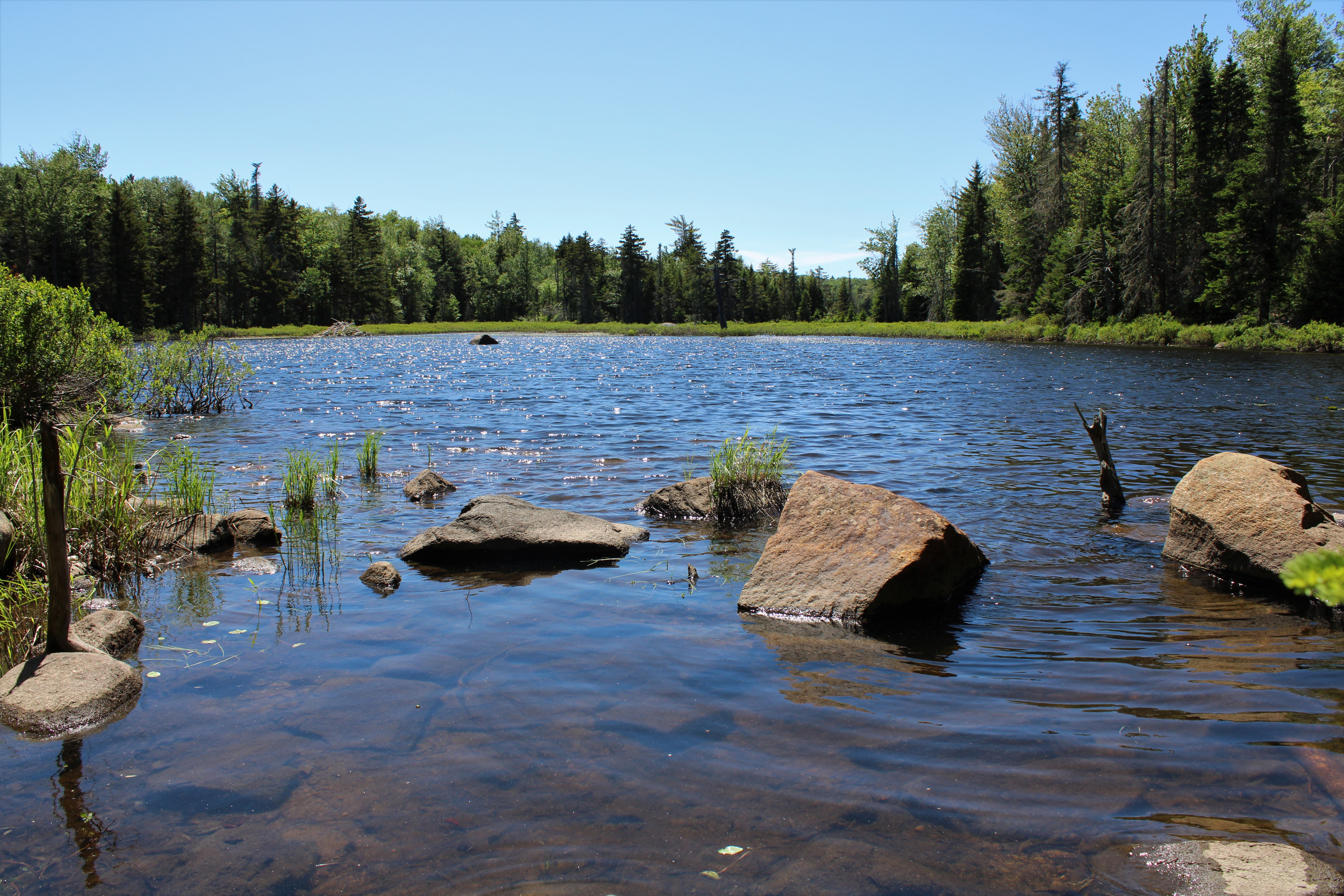
Made a short detour to a large, scenic beaver meadow on Black Mountain Brook that sits just a short ways off trail.

A short walk on the trail brought me back to car for a nice and easy 3.3 miles RT, with about 800 feet of combined ascent on a gorgeous late spring afternoon! The breeze actually kept the bugs away too!
Map below. Blue P=Parking Blue X's=Views

No comments:
Post a Comment