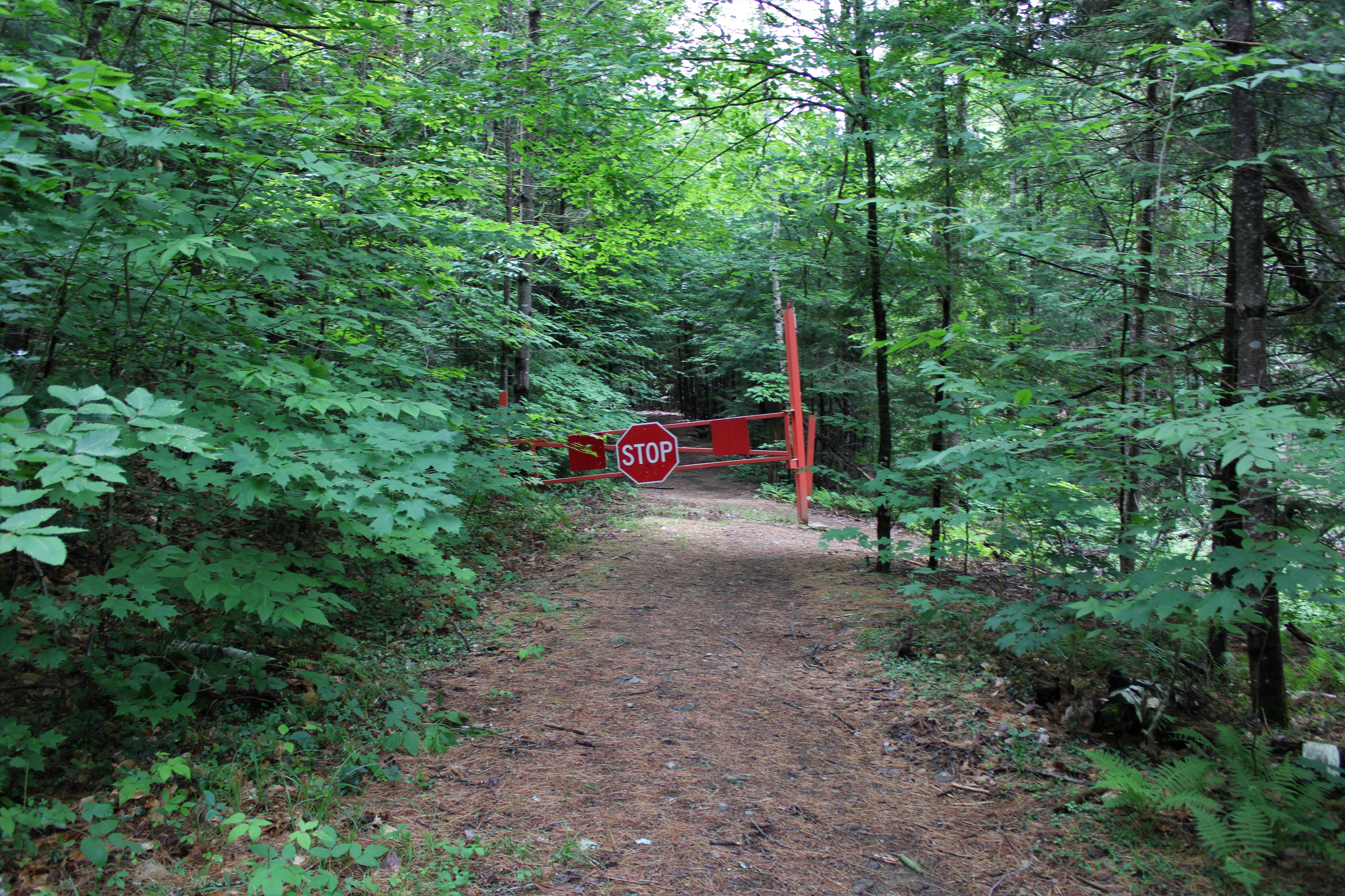
Headed up into the southern Adirondacks to do a little exploring to an unnamed peak near Palmer Pond in Chestertown this morning. Early morning rain had finally ended and clearing skies prevailed as I arrived at the trailhead at the end of Palmer Pond Road(road was a bit rough for my low clearance vehicle-but I made it just fine) I was a bit surprised to be the only car there when I arrived, but I gladly set out south on the gated, wide old road that is now the trail.(Elevation 1185 feet).
Within just a few moments on the trail I knew the bugs were going to be more than just a nuisance today, so I donned the head net for the first time all year. Keeping right at a fork in the trail, I hugged the west side of the pond, passing through a very wet area near the outlet flow.

The main trail on the west side of the pond is very obvious and easy going for about 3/4 of a mile, until I turned right onto a less obvious herd path/ ATV trail marked by three small barrels. This trail heads west and is in pretty good condition. There is even a makeshift footbridge crossing over a small stream-not bad for an unofficial/ unmaintained trail.


Heading over to a jumbled area of rocks on a steep area of ledges, I was treated to the first views of the day towards Mill and Stockton Mountains.


An easy descent on the unofficial trail, brought me down to the main trail once again. From there, I circled around the south and east sides of Palmer Pond, enjoying many wonderful water views.
.JPG)
.JPG)
Once back around to the north side of the pond, I picked up the main trail once again and followed it back to the car for a total of 4.2 miles round trip, and over 500 feet of ascent. Didn't see anyone else until I got back to the car as another group was setting out. Would've been a perfect day but the bugs were extremely irritating near the pond.
Map Below. Blue P=Parking Red=Route Taken

what happened to all the leaves? LOL, it looks like fall
ReplyDeleteYeah, it's odd for sure. Possibly tied into that gypsy moth disease that was killing trees in other parts of the Lake George Wild Forest a year or so ago??
DeleteI was gonna comment on the Gypsy/Spongy moth damage. They love oak trees and it looks like they made a meal of the stunted red oaks on the summit. Hopefully the trees re-leaf and the damage isn't permanent. Beautiful views!
ReplyDeleteYeah, the views were even better than expected!! I'm with you though, hope the tree damage is temporary.
Delete