To find the preserve, drive east on Route 4 out of the village of Whitehall and turn left onto 9A, until you arrive at Route 9 and then bear left. Take your first right onto Route 10(Doig Street) and then bear left where the road splits after half a mile. Almost immediately you will cross a bridge over the Polutney River. Bearing left, you will now be driving on gravel Galick Road. The parking area is a small pull off along the side of the road directly below large, steep cliffs. A small sign indicates the trail entrance. Unfortunately, it was a bit dreary and there was even a slight drizzle as I arrived.
Following along the foot of the cliffs.
Climbing up to the ledges, there are many views just a few yards off the trail.Once leaving the rock cliffs, the trail turns north and enters a hemlock forest, crossing a small stream.
The trail soon emerges into large, grassy woods climbing to another overlook.
An incredible view southwest over South Bay and the Route 22 bridge.Steep east facing cliffs.
The north edge of Tim's Trail closely follows an old stone wall.
A fantastic vantage point with views to the south and west.
Luckily, the only snake I saw was this garter snake.
I left Tim's Trail and followed a one mile connector trail that leads to the 2 mile Susan Bacher Trail on the north section of the preserve. The connector trail crosses directly over the wooded summit of Austin Hill on its way.
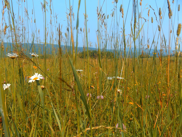
The connector trail soon emerges to wide open fields and views.A nearby barn makes for a perfect setting.
The river is overflowing its banks from all of our recent rains. Here is a spot that the waves are splashing out onto the road.
Flooded shoreline.
The road provides a great look at the rock cliffs that I had been on a short time before.
Taking one last look back at the rocky cliffs from Galick Road.
Taking one last look back at the rocky cliffs from Galick Road.
Hiked a total of 5.8 miles RT, with many wildlife observations along the way.


Ive done this 1s and last week I flew my drone from the road..my wife and my son have paddled up from the Rt 22 put in and paddled the Poultney River and the Canal..lots of wild life and a short day..its just wonderful
ReplyDeleteThis was a really fun hike for me in an area that doesn't seem to get much attention. That's ok with me though, that's the way I like it!
ReplyDeleteyes same here..always looking for a hike where I may not see any 1 else..LOL
Deletehttps://www.youtube.com/watch?v=IC6KAWRKukc&t=63s
its ok to delete this.. its some drone shots of the cliff area