Went north to the Adirondacks with my dad and nephew this morning to do some exploring. We first visited Kibby Pond, located roughly 5 miles south of Bakers Mills on the south side of Route 8. A small state sign indicates "Kibby Pond" but this spot can easily be missed if you're not paying attention. There is room for a couple cars in the small parking area, which sets back in the woods a few yards off the road.
The trail begins with an immediate drop down a bank to a stream crossing. This unnamed brook flows into the East Branch Sacandaga River a short distance downstream.
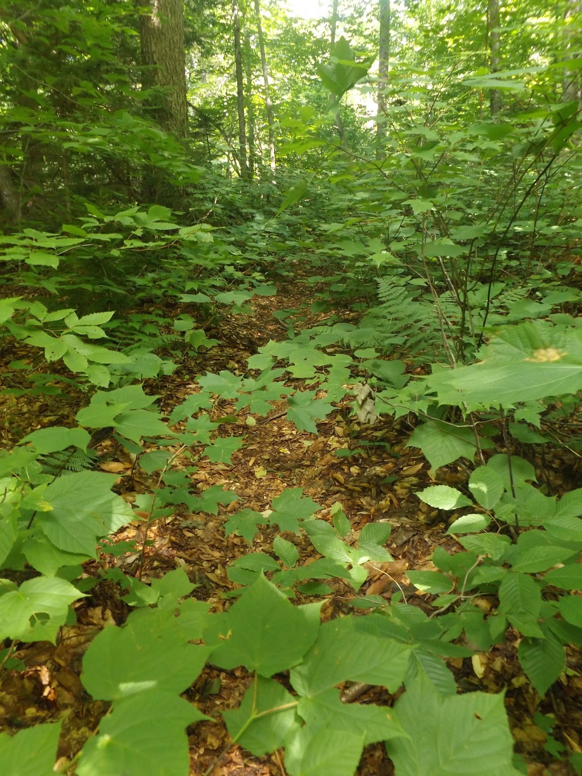
There is no bridge so you must rock hop across, which was easy enough.
The trail is in rough condition in some areas, with blowdown and weed growth but you should be able to see a well worn foot path, even in the worst spots. The state sign says 1.9 miles, but my GPS was closer to 1.5 miles of hiking, with an elevation gain of about 600 feet, by the time we arrived at the pond's pristine shores.
It was about 9:30am and the sun was shining bright. Couldn't be any happier.
A panorama of beautiful Kibby Pond.
A fairly decent sized campsite on the pond made for a perfect morning set up for us.
Dad fishing from the log.
Holden fishing too. We all had pretty good luck, taking turns from the log or fishing from a couple other spots on the shore. We caught a ton of dace. Really enjoyed spending a few hours at the campsite relaxing.
After packing up, we hiked back the 1.5 miles of trail mixed with brushy overgrowth.
Re-crossing the brook at the end of the hike. 3 miles RT.
After heading up to North Creek for lunch and restocking on water, we decided to head further north to check out a fairly new DEC trail(2009) to Coney Mountain. This trail is located in the Horseshoe Lake Wild Forest along Route 30 at the Hamilton/Franklin County line. A small parking area was built in 2013.
The mountain in small in stature at only 2267 feet, but before the trail was put in, a steep bushwhack hike was often required. Thanks to the trail builders, you will wind your way around the mountain for 1.1 miles, gaining 523 feet on your way up.
As you approach the open, rocky summit, some views begin opening up behind you.
My nephew Holden racing to the top ahead of us.
The summit.
The bare, rocky summit provides spectacular views.
A panorama to the east.
Tupper Lake can be seen just beyond Goodman Mountain's nearby summit.
My dad usually hates mountains, so I was happy he chose to at least do this small peak.
We were very fortunate to enjoy the mountain breeze and sunny summit views by ourselves. We lingered for about a half hour soaking in the perfect weather before heading home.
A GREAT day with my dad and nephew. Hiked about 5.2 miles total.


No comments:
Post a Comment