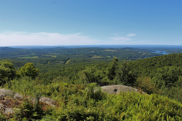
Headed up into the northern Adirondacks to check out a small jewel of a pond by trail and to hit a hundred highest ADK mountain in the Stephenson Range via a short bushwhack. I parked at the trailhead for Cooper Kiln Pond off of Gillespie Drive, which is just over half a mile NW past its junction with Whiteface Memorial Highway. Elevation at the trailhead is about 2360 feet and there was only one other car there when I arrived. The trail actually starts on an old jeep road/ snowmobile trail and is relatively flat for a while.
Once above 3000 feet, much of the trail is wet and muddy but not terrible, as the trail slowly descends down to the pond.
After about 2.7 miles, I arrived at Cooper Kiln Pond, which sits at the foot of of an unnamed ridge in the Wilmington Range. The trail around the edge of the pond has been recently flooded by beaver so I had to carefully make my way around towards the Lean To.
Sitting at an elevation of 3010 feet, this pond is a real beauty! What a spot. I met a nice gentleman who was doing some camping at the Lean To for a couple nights so I didn't take any photos of the shelter out of respect to him.
After chatting for a bit, we parted ways and I retraced my steps back up towards the height of land on the trail. From this point I began my bushwhack south through a mostly open spruce filled forest.
There was only a little deadfall to contend with and the spruce never really closed in so I made good time ascending, arriving at the 3440 foot summit in no time. A ribbon tied around a tree was the only marking I could find.
After taking a few moments to refresh, I continued on, pressing my way SW from the summit, where the slopes drop off significantly. After a bit of poking around, I found an open ledge with a nice look over towards nearby Esther and Whiteface Mountains.
From the same ledge looking east.
Peeking around some trees I found this good view down into Wilmington with the Jay Range, Crows and Hurricane off in the distance.
A zoom view of the previous shot.
After enjoying the ledge views, it was a short bushwhack descent back down to the trail, which I followed to the car.
Hiked about 5.8 miles RT, with over 1300 feet of ascent.
The camper at the Lean To was the only other person I saw the entire day.


