Decided to repay a visit to 3600 foot Bearpen Mountain, a Catskill high peak, from a route I had never done before. My approach today would be from the south, where DEP land comes down to meet George Lawrence Road at 2300 feet. I easily parked my car off the road before the last driveway and headed into the woods, quickly picking up a good woods road, heading northeast through open woods and past abundant stone walls.

The temperature was cool but comfortable, in the mid to upper 50's, as I rapidly gained elevation on the old road. The fall foliage appeared to be right on schedule, with some vivid colors beginning to pop in the higher elevations. These maples were ablaze in a clearing near 3000 feet.

The woods road is well defined and easy to follow, as it climbs up the slopes of Bearpen's NW peak.
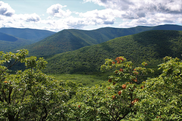
Around 3150 feet, the woods road peters out a bit, so I decided to bushwhack up from there, climbing directly up and then east over to an open ledge at 3350 feet with a killer view west over Buffalo Hollow. As I took in the view, a passing rain shower opened up near Red Kill Ridge

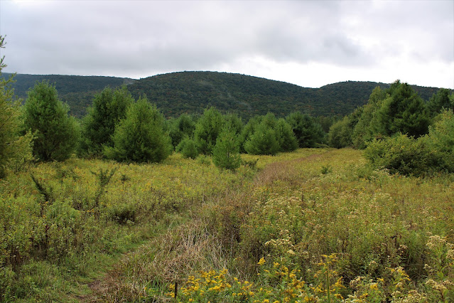
After checking out the view, I continued my bushwhack up, soon hitting a myriad of herd/ game paths that eventually lead to the main snowmobile trail atop the ridge. This trail is wide and quite muddy with many large puddles, but convenient for making time.
Just prior to the last steep push up to the summit, I passed the small pond that sits just off trail-and always seems so out of place for this elevation.
A final short but steep ascent brings you up to the summit ridge, with several small view points. This is a nice view back towards the NW peak of Bearpen and the route just taken. This was a fine spot to see the fall colors beginning to fill in.

West views towards Plattekill Ski Area.
From another ledge, no more than 30 yards away, there is a good view north-where more rain showers were coming down over the Schoharie Reservoir.
To the north/ northwest, Bearpen's long ridge eventually leads over to Roundtop-a Catskill hundred highest peak.
Beyond those views, the summit sits less than 2/10 of a mile away, off trail in a nondescript area of the woods, and is marked with a small rock cairn.
Back on the snowmobile trail, a very small drop SE brings you to a fireplace in a clearing and an okay view to the north once again. This view is somewhat limited with the leaves on the trees however.
One last view north can be enjoyed from the top of one of the old Ski Lifts down towards the valley of the Little West Kill. Again, the leaves seriously impede the view this time of year.
After enjoying the views near the summit, I turned back, retracing my steps on the snowmobile trail towards Bearpen's Northwest Peak again when the skies opened up, raining hard for a good five minutes before clearing back out. On my way back, I made one small pit stop near the very edge of DEP property on the west slopes below the NW summit to check out the old T-Bar from the old Roxbury Ski Center.
After a brief bushwhack down, I hit the woods road I had followed up once again and descended all the way back down to the car for a total of 5 miles RT and 1300 feet of ascent. Felt good to be back in this area of the Catskills-one of my favorites-and one I hadn't done in quite some time.
Map Below. Red P=Parking Blue X=Off Trail Ledge View
Red X=Snowmobile Trail Views Black X=Bearpen True Summit

.JPG)
.JPG)
.JPG)
.JPG)


.JPG)

.JPG)
.JPG)
.JPG)


.JPG)

.JPG)
.JPG)


.JPG)
.JPG)


.JPG)
.JPG)
.JPG)
.JPG)
.JPG)

.JPG)


.JPG)
.JPG)
.JPG)
