Went north into the expansive Adirondacks today and explored several different beautiful areas. Even the ride is gorgeous, with many peaks, valleys and waterways. Here is a small access point along Route 30 to the main branch of the Sacandaga River, a 64 mile tributary of the Hudson River.
To the east along Route 8 are several different access points to the ruggedly handsome East Branch Sacandaga River. A 19th century community known as Griffin was located along the banks of the East Branch, where the first bridge was built to cross the River. Today, nature has reclaimed much of the former community where woods and trails are all that remain. A small dirt road provides access to this area.
Looking upstream from the iron bridge.
There are a few unmarked paths that follow the banks of the river down towards Griffin Falls.
After a short distance, a scramble on rocks provides great views of the powerful cascading water.
Looking back upstream. The East Branch is a very beautiful, mostly remote waterway with many roadside campsites and trails.
Under the iron bridge.
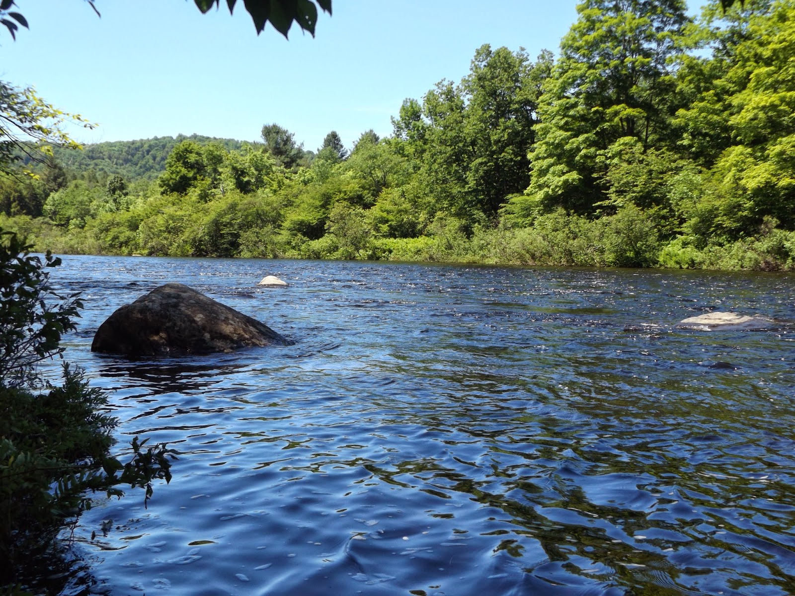
A closer look at the East Branch of the Sacandaga River a bit west of Griffin.
Quiet stretch of the East Branch.
Continuing north beyond Indian Lake I arrived at a roadside pulloff for Rock Lake. This is a short mostly level .75 mile trail through the woods, where there are several wet areas.
Deep woods, where the black flies began to become very irritating.
Pretty Johnny Mack Brook flows along a portion of the trail.
The trail goes through a very marshy area where keeping your feet dry is nearly impossible. The Lake is very quiet and serene.
Rock Lake.
Johnny Mack Brook inlet.
The black flies were becoming unbearable so I quickly headed back to the car after the 1.5 mile RT. Headed a bit further north to the Blue Mountain Lake area to hike to Castle Rock.
The trail follows a side road and driveways for a bit, before heading into the woods. A small unnamed stream cascading down along part of the trail.
The first half of the trail has a few ups and downs but the second mile is steep with some very tough climbs.
Another rough climb.
Just before the final push to the summit is a rock squeeze.
Looking west at a nearby ridgeline.
Once on the open, rocky summit the views are outstanding. This spot provides a commanding view of Blue Mountain Lake below.
A panoramic view of Blue Mountain Lake.
Visible just to the east is 3750 foot Blue Mountain with its fire tower.
Looking to the north and west over deep forest.
Very steep ledges.
A zoomed in view towards the small hamlet along Blue Mountain Lake's southern shore.
Another view of Blue Mountain Lake's east side and many islands.
Skies remained clear far to the south and east over distant peaks.
Looking back up the rocky clearing. Thick clouds began building on the summit and it even rained lightly for several minutes.
A different perspective of the summit.
One more panoramic.
After lingering on the summit for about 20 minutes I headed down the mountain. I found this wooden foot bridge that seemed to be missing something. A nice 4 mile RT hike.
On the return home, I followed Route 28 east from Indian Lake towards North Creek. The Hudson River runs along the road through this section where there are several pull offs offering river access. This is the Hudson near the tiny hamlet of North River.
Looking back upstream at the Hudson with clearing skies. Route 28 can be seen running beside the Hudson o the left.
A great, full day in the gorgeous Adirondacks. Hiked a total of about 5.5 miles total with a few shorter walks as well.


No comments:
Post a Comment