The Blue blazed Burr and Burton Trail climbs all the way to the top of the mountain.
Much of the trail, especially at lower elevations, is a wide woods road.There are several small broken down cabins that can be found throughout the preserve.
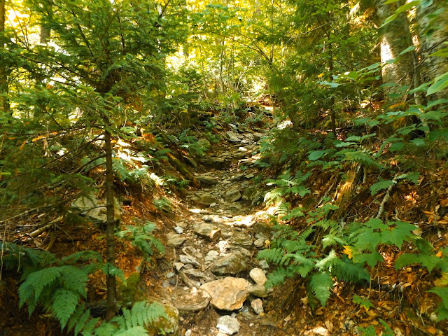
The rocky trail climbs steeply through a mixed hardwood forest.
We were tiring pretty quickly as the trail continues at a fairly strenuous rate almost non stop.
A rockier section about halfway up the trail.
As the trail climbs it becomes even steeper and roots/ rocks become more frequent.
The upper slopes begin to enter a more northern evergreen forest as it continues its unrelenting ascent.
Once out of the steep shadows cast by the mountain, the trail opens up a bit.
Evergreens mark much of the higher elevations on the trail.
Although less steep, the trail continues to climb steadily almost without fail.
Sun covered moss.
One of the last few steep pushes towards the top.
Once you reach a trail junction, you have the choice to continue on to the summit or to take a yellow blazed side trail to "Lookout Rock". Along that trail are your first real glimpses at any views.
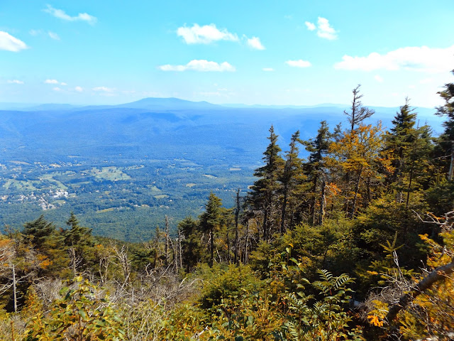
A view through the trees nearly 2500 feet below to the Manchester countryside.
A clearing provides amazing views to the east above the steep slopes.
The evergreens along the steep upper slopes are tattered and weather beaten.
Stratton Mountain rises very steeply in the distance as the valley spreads out far below.
A panorama from the clearing on the way to Lookout Rock.
Lookout Rock has a bench and outstanding east views as well.
Continuing on our way back to the summit, you soon arrive at a paved toll road. The mountains stretching to the horizon far below is staggering.
The toll road brings autos all the way to the summit of the mountain for about $10? It is a strange feeling to hike all the way up a steep mountain and then to mingle with passengers and families just arriving in their car. The views are fantastic from the summit area.
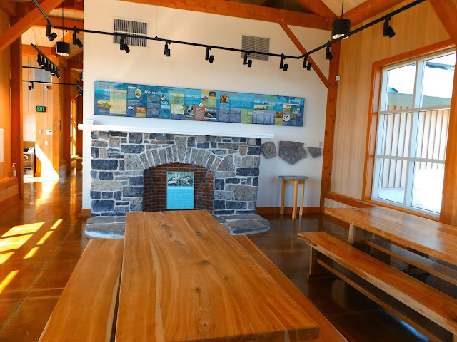
A gorgeous visitors center provides shelter during inclement weather as well as a variety of history on the mountain.
Each side of the visitor center provides balconies with endless views. Here is a view south and east to Little Equinox Mtn and Red Mtn as well as countless other peaks.
A panorama from the east facing balcony.
The view east from the 3840 foot summit.
A closer look at the toll road following the ridgeline.
Outstanding west views from the balcony lookout.
Beautiful peaks to the west of Equinox.
Another phenomenal panoramic view to the west.
The hike up to the summit gains over 2800 feet in 3.1 miles. With the additional loop to Lookout Rock we hiked a total of 6.8 miles RT up and down the mountian.
Once back down to the lower trails, we walked along the Red Gate Trail
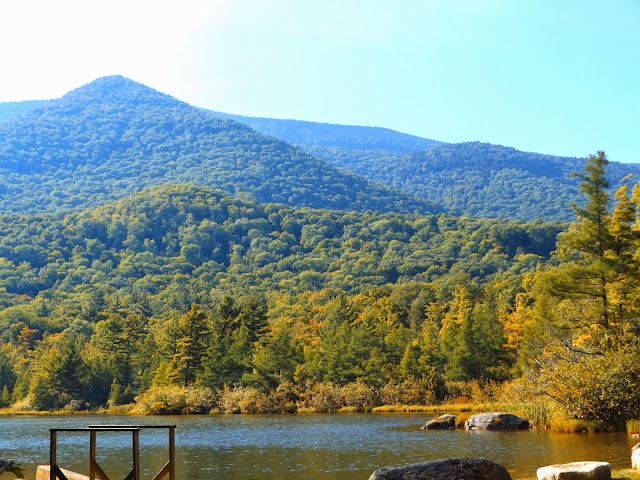
to serene Equinox Pond, which sits in the shadow of Equinox Mountain.
Looking across the pond at the steep slopes we had just traversed.
Hiked about 7.6 total miles and we were both pretty fatigued after. It was an exhausting day with a continuous ascent and then descent.








No comments:
Post a Comment