A nearly perfect, sunny summer day found me back in the beautiful Southern Berkshires hiking the Taconics. Started by going to Jug End Reservation in rural Egremont, Ma to hike the 2 mile loop trail.
The trail climbs first through open fields with wildflowers all around.
A pleasant woods walk follows a wide path under a canopy of hardwoods.
Shortly after leaving the woods, the trail enters a wide open meadow with gorgeous views of nearby Mt Whitebeck and Mt Sterling.
The trail reenters the woods again.
A busy bee.
Sun drenched trees make for a perfect, beautiful canopy.
Mt Darby's satellite tower.
A panoramic view across the open fields.
On a warm, sunny, summer day this tree makes for a perfect shady spot.
The trail closely follows the deep woods on one side with the open meadows beside you.
The trail basically sits in a large fish bowl.
Once back in the woods, you cross a couple of small streams and pass through mixed forests.
Babbling Fenton Brook flowing through the woods.
Fenton Brook's cold mountain waters.
An old stone fireplace and chimney remain from when the nearby Jug End Resort used to rent out cabins.
A mossy fallen log.
The trail follows an old roadway under a mixed forest.
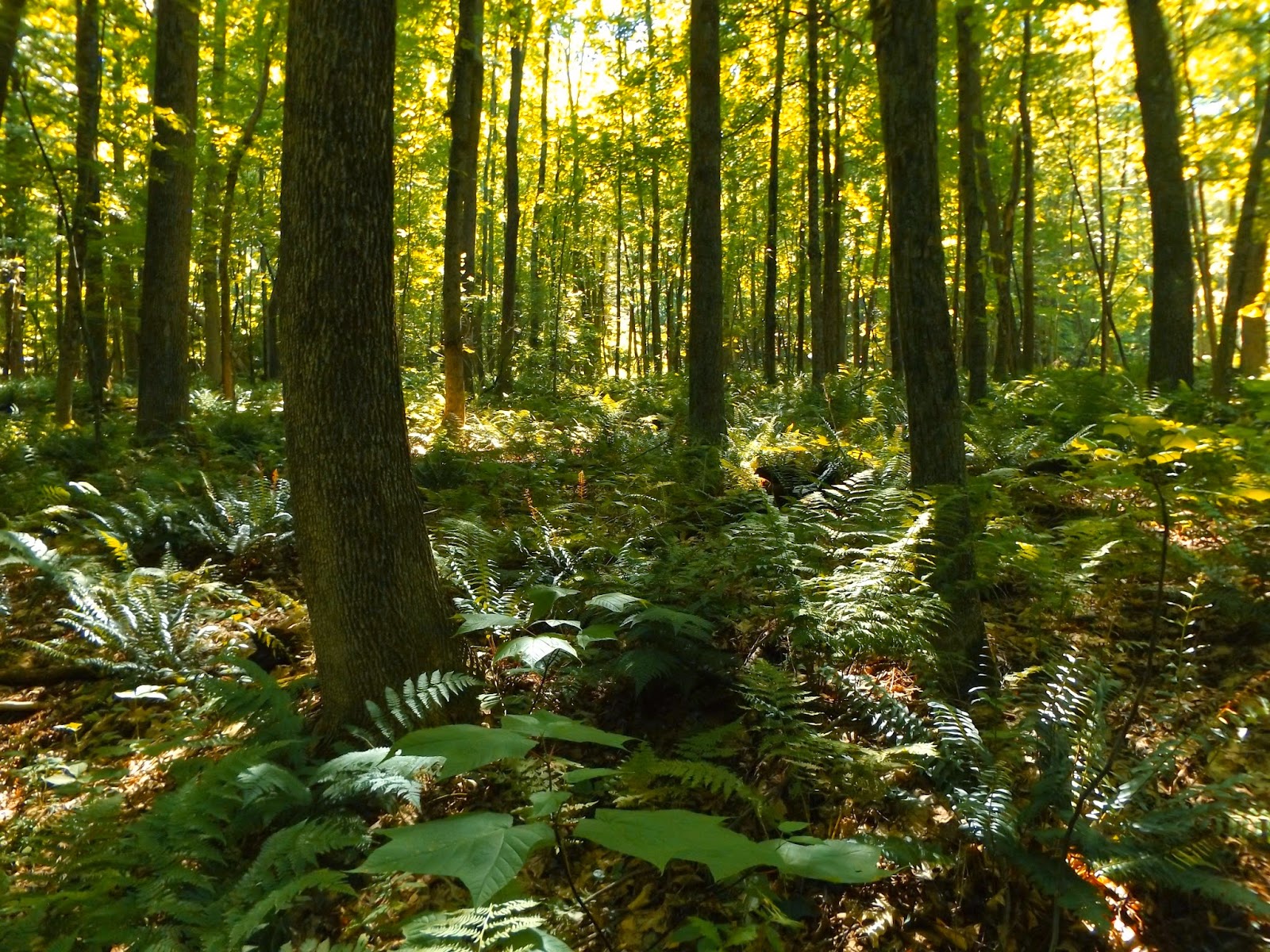
The trail passes by many stands of ferns.
A steep descent from the woods road near the end of the trail.
Fenton Brook.
A look back to the west at the ridgeline past the mowed pathways.
Passed by several folks out with cameras enjoying the beautiful day. They all seemed very happy to be out soaking in the day. Hiked 2 miles RT.
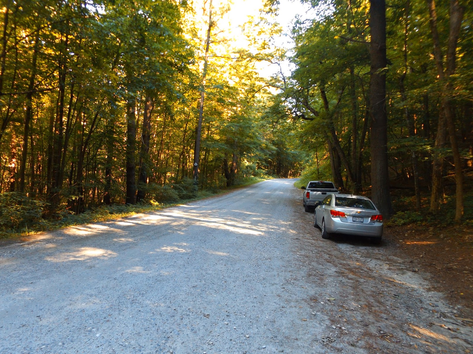
After leaving there, I headed just down the road a bit to the Appalachian Trail crossing on Jug End Rd. There is a small pull off on this gravel road, with room to park 3-4 cars.
The trail climbs steeply up over 900+ feet in the course of 1.1 miles on the AT.
Gorgeous Mill Pond at the corner of Routes 23 and 41 far below.
Mill Pond and South Egremont traffic.
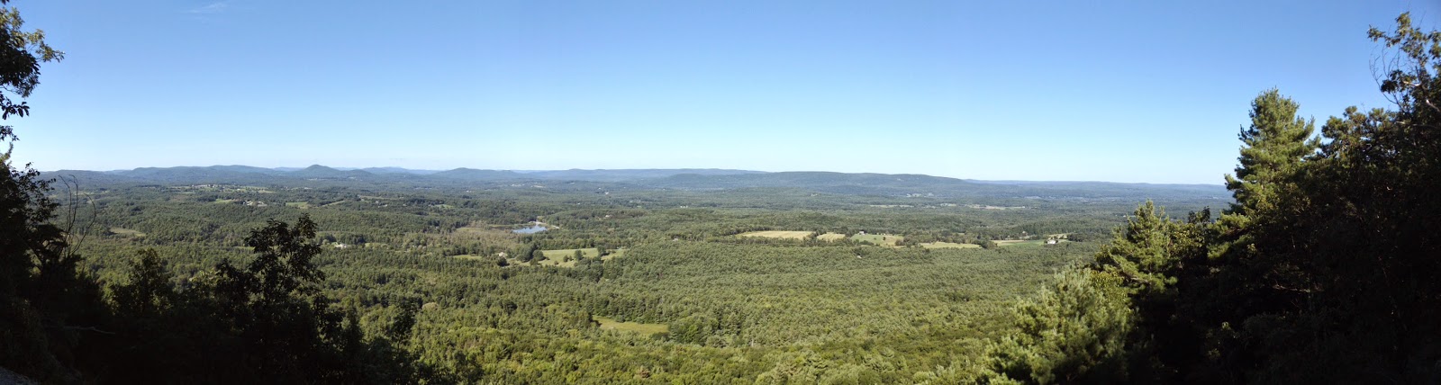
A panorama from Jug End's rocky cliffs.
Beautiful vistas to the north are available from Jug End's 1770 foot summit.
An informal path follows the open ridgeline of Jug End's summit area.
A rocky clearing leads to amazing far reaching views.
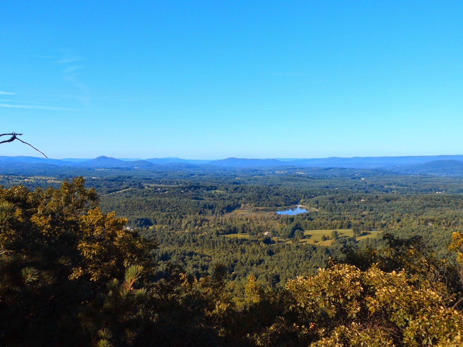
A beautiful view of the south Berkshire Countryside.
Looking back up the rocky clearing.
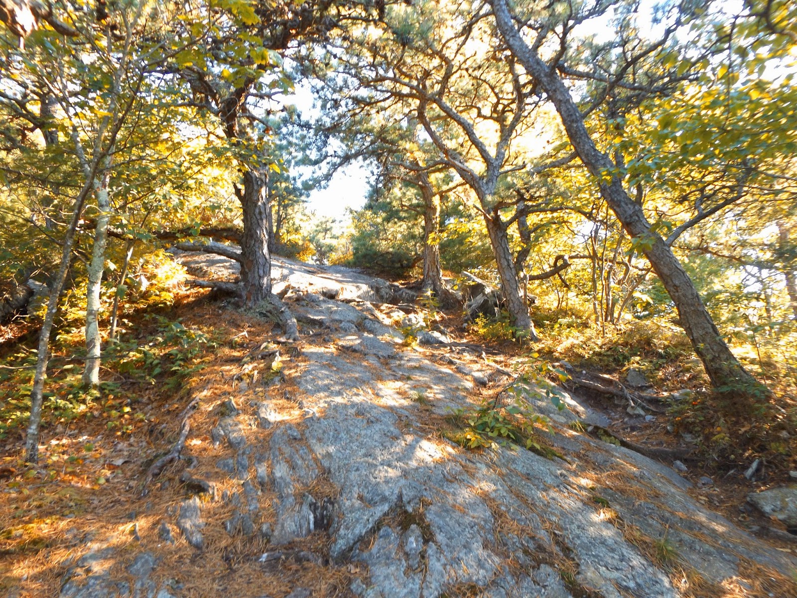
The AT continues south from Jug End along rocky ledges.
A steeper, rockier section.
A climb up to an intermediate peak between Jug End and Mt Bushnell.
The woods bathed in late afternoon sunlight.
After several ups and downs, you arrive at Mt Bushnell's 1834 foot summit with eye popping views all the way to the horizon just over the treetops. Met a couple of small groups along the way out enjoying the trail on their way to the next lean to.
After turning around and returning along the AT, I soon arrived back at Jug End's beautiful north views.
Returning on the AT north towards Jug End's steep north facing slopes.
A pleasant home and yard far down in the valley.
Nearby peaks to the north from Jug End.
The trail drops very steeply in the shadows down the east side of Jug End.
Driving home and watching the sun set on a gorgeous summer day.
Hiked 4.6 miles RT on the AT and a total of 6.6 miles for the day.


No comments:
Post a Comment