About a mile and a half east of the state line is a small parking area on the right and the trail head for the Sara Tenney Trail the left. Just past a large wooden gate, the Sara Tenney Trail stays straight, but I took a quick turn left beginning an immediate ascent on the RRR Brooks Trail(west). Elevation at the trail head is roughly 1550 feet.
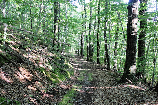
The RRR Brooks Trail climbs up an old woods road for about .9 of a mile to a junction with the Shepherd's Well Trail.
The Shepherd's Well Trail climbs steadily northwest through mostly hardwoods, before finally arriving in a large, wide open clearing through steep sloping blueberry bushes.
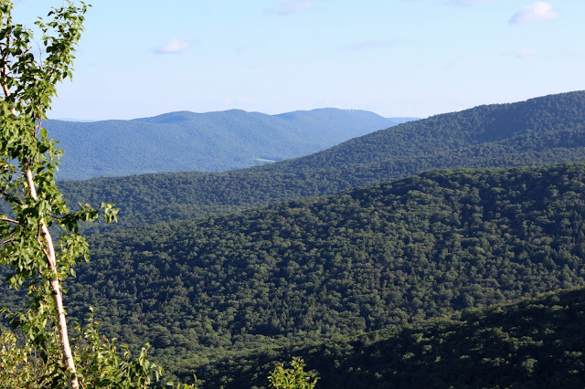
At an elevation of about 2300 feet this section of trail provides sweeping views to the east, south and west. Here is the view back east towards Mount Greylock and Williamstown.
Route 2 can be seen winding steeply 300 feet below down to Petersburgh Pass.
The trail climbs one mile up to the Taconic Crest Trail, passing through Hopkins Memorial Forest property. Here is a large clearing with a 164 foot tower for measuring wind just below the summit of Smith Hill.
There are a lot of white quartz found near the top of the ridge line.
1.9 miles away from the car, the Shepherd's Well Trail arrives at the Taconic Crest Trail.
Pausing on the Taconic Crest Trail after gaining a little shy of 800 feet from the start of the hike.
Due to the late hour of the day, I turned around at the TCT, heading back down the Shepherd's Well Trail. Passing through a stand of ferns.
Continuing down through the clearing on the Shepherd's Well Trail.
A fantastic view towards Mount Greylock's steep slopes above Wiliamstown farmland.
A southeast view towards Brodie Mountain and its wind turbines. The slopes of Berlin Mountain can be seen in front.
Descending back down the RRR Brooks Trail.
The RRR Brooks Trail turns left and joins the Sara Tenney Trail for a short distance.
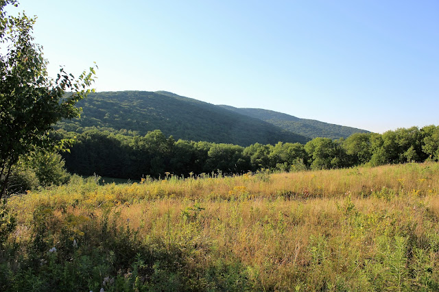
I followed the Sara Tenney Trail through open fields.
A nice look back to the west at the Taconic ridge line.
A bare, small, unnamed hilltop near Birch Hill provides pleasant views. Retraced my steps back off the hill and towards the car.
Finishing up the hike back at the wooden gate at Route 2.
Hiked about 4.5 miles RT on what turned out to be a gorgeous summer evening.


No comments:
Post a Comment