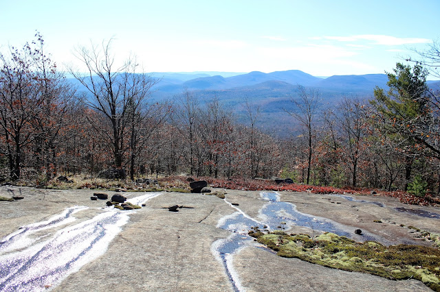
This hike is entirely a bushwhack, through mostly all hardwoods. We first crossed up and over a 2000 foot unnamed peak before dropping back down to a beaver pond at the foot of Baldhead Mountain. Once we began climbing up the steep slopes of Baldhead, we began encountering open rock slabs, which provided nice views back to the south.
Open rock on the southern shoulder of Baldhead Mountain.
We rather enjoyed these open rocky areas, which were fun to climb and provided better and better views the higher we got.
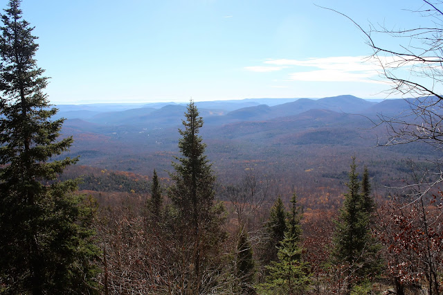
A beautiful sunny day. At some points, the November sun was so strong, that it appeared hazy looking down towards Stony Creek.
We wandered around Baldhead's numerous open rock ledges and rock slabs, enjoying mostly southern exposure viewpoints.
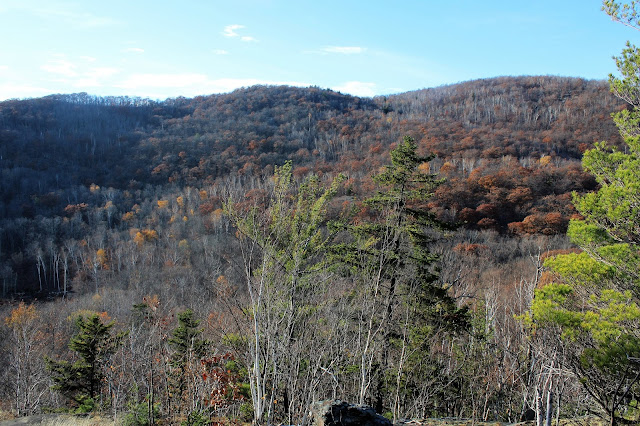
Just off the east side of Baldhead's summit area is a great viewpoint of nearby Moose Mountain's rocky slopes, which almost look close enough to touch.
After hitting Baldhead's true summit(which is mostly wooded) we
continued on along the mostly level ridge top to the "Eggplant" rock.
After dropping off the summit of Baldhead, we descended to the north/ northeast and immediately hit a large section of spruce. Some sections were fairly thick and made it tough to negotiate.
Finally hitting open hardwoods as we neared the col.Looking directly up at Moose Mountain, some 500 plus feet above us in the col.
We decided to head a bit south towards the open rock ramps that ascend the southwest slopes of Moose Mountain. Here is a fantastic shot back west towards Baldhead, which we had just come off of.
Open rock can be found almost everywhere on Moose Mountain.
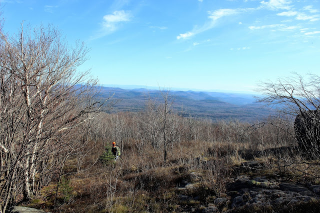
Jim pausing to enjoy the look across the "abyss" that is the col between Baldhead and Moose Mountain.
Continuing our ascent.
Countless views can be experienced from the open rock on the mountain. Ascending this peak is truly a rewarding and unique experience, feeling almost like a high peak.
Looking back down at Jim as we keep climbing.
Nearing the summit, the entire mountain seems to open up into a meadow like area, with still great views.
While all the views are great, the east facing views are truly awe inspiring, and completely panoramic.
Northeast views are far stretching, all the way to the High Peaks far away.
A glacial erratic just below the summit. This boulder makes a perfect spot to stop and rest. We enjoyed our lunch here, as well as the breathtaking views.
The open slopes near the summit.
Moose Mountain's 2831 foot summit.
An amazing view towards Crane Mountain's northwest ridge, with Gore Mountain in the distance beyond.
One of my favorite photos of the day. Looking at Crane Mountain directly to the north, with many of the High Peaks visible in the distance beyond.
Northwest views off the mountain, with Wolf Pond sitting down in the valley below L-R(Bearpen Peak, Long Tom Ridge, and Wolf Pond Mountain).
Beginning the descent off of Moose Mountain, with almost continuous views along the way.
The "bump" on Moose Mountain's southeast side.
On the descent of Moose Mountain, we had to climb up and over a small "bump", which proved quite tough on slippery fallen leaves. It also, however, provided a great view over Welch Vly and towards nearby peaks to the south from an open ledge.
Stopping at an area known as Welch Vly, in the col between the bump on Moose's southeast shoulder and Burnt Mountain.
Once out of the col, we climbed straight up Burnt Mountain's north slopes. Here's a glance back over our shoulder towards Moose Mountain's southern slopes.
A vernal pond we came across near Burnt's summit.
Burnt Mountain's 2042 foot, wooded summit.
One of many different open rock ledges on the descent of Burnt Mountain that provide incredible, sweeping views to the east.
A view back south towards Hadley and Roundtop Mountains bathed in the late afternoon light.
After some tense moments and having arrived safely at the bottom of a large rocky area of steep ledges, we paused to catch our breath and breathe a sigh of relief.
We descended several steep, rocky ledges, with each getting easier and easier. Each rock ledge offered up a slightly different view as well. Here, Jim stops to capture a photo towards southern peaks.
As we neared the end of the hike, we had to cross babbling Kenyontown Creek.
Once across the creek, we had to climb directly up a 200 foot embankment to get to the spotted car on Tucker Road. We arrived back at the car feeling quite exhausted after 8.5 miles and 3000 feet ascent.


This comment has been removed by the author.
ReplyDeleteHi Walking Man,
ReplyDeleteAwesome blog -- so much great info and cool photos!
I’m a runner and I found your site while searching for running trails in the Northeast and New England.
Based on your expertise about these parklands, do any stand out for running?
I’m not a trail-runner. Instead, I prefer the carriage roads in Acadia NP. Also the unpaved roads in October Mountain and Beartown parks in MA ...wider, unpaved paths, or paved interior roads — ideally with as many miles as possible!
Any thoughts would be great. Thanks!!
BTW, here's my email if that's easier: nigel.mars@gmail.com
Best,
Nigel
Hi Nigel! Thanks for the kind words. I certainly appreciate it. As far as running trails, I may not be the best person to ask, but I agree that the state forests in Massachusetts do seem to offer more of the unpaved(low traffic)roads that you desire. Rail Trails are also a good option. Not sure how far into NY you'd like to travel but there are beautiful carriage roads all around the Hudson Valley area(The Shawangunks area as well as many of the historic sites along the east side of the Hudson).
DeleteHope this helps a little. Let me know if you need more specifics.
Thanks,
Shawn
Thanks for the input, Shawn!
DeleteYou're right about Rail Trails, those are great for running (and cycling) - closed to traffic, mostly paved, and they go on for miles. Also, thanks for the tip about the Shawangunks and carriage roads in that area. Hopefully, my travels will take me in that direction sometime soon.
Thanks again, I'm looking forward to all your upcoming posts about the region's parklands!