The trail follows the road for a couple of minutes before re-entering the woods again, only to repeat this one more time before finally arriving at the bottom of a ski slope. Cross the ski slope in almost a straight line towards the woods and then look for the white blazing again.
Once in the woods, the climbing begins, quite steeply at first.
The trail heads south and then swings west, passing through a northern hardwood forest. Near the top of the first bump on Mount Fray's east side is a radio tower.
Radio tower.
Once near the radio tower, the foot trail becomes a woods road and is very easy to follow along the ridge line.
Emerging at the top of a ski run, with the first unobstructed views of the day. Here is a view northeast.
Continuing west along the trail, which remains wide open along ski runs.
Looking back to the east, where skies seemed to be clearing.
Continuing to ascend.
A north view beyond another ski slope.
As I neared the summit ridge, the clouds to the west seemed to be thickening up.
A map of the ski area at the high point of Catamount.
Just below the Catamount sign and gondola are the best views to be found.
The broad, north facing views atop Catamount's ski slopes.
Retracing my steps back a couple hundred yards, the trail leaves the ski slopes and enters the woods heading south(this turn can be hard to miss). This stretch of trail has almost a tunnel like effect.
Highly changeable skies above as I approached the summit.
A small opening provides a nice view southwest.
The South Taconic Trail comes close to, but does not go over the true summit of Mount Fray. I continued south past the viewpoint to an area about .15 away from the summit. This meant losing some elevation, but the woods appeared so wide open that it didn't seem so bad for bushwhacking.
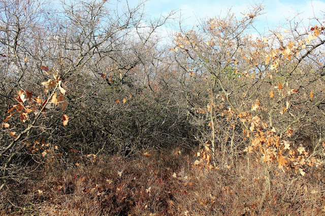
Less than a couple hundred feet from the summit, the woods tightened up quite a bit with scrub oak, making it very challenging to gain any ground.
On my bushwhack back towards the trail, I happened upon an old state line boundary marker.
Once back on the trail, the skies began to clear out, providing much different views north out over the ski slopes.
Ski slope view to the northeast and the Berkshires.
Afternoon shadows creeping in on the north side of the mountain.Hiked about 4.5 miles RT with around 1000 feet elevation gain total.


No comments:
Post a Comment