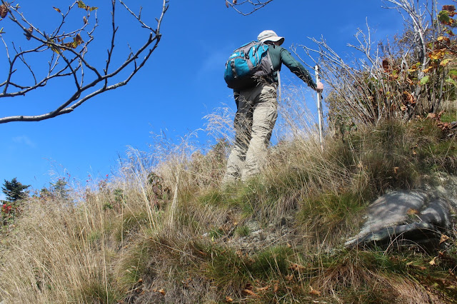
After about a third of a mile, at a bend in the trail, we began the bushwhack, entering the wide open hardwood forest.
There were several steep grades we had to negotiate but nothing terribly difficult. We took our time and really enjoyed the gorgeous late summer conditions.
We were both quite astonished by the open woods that we were climbing with very little dead fall or anything to slow us down.
Fall colors are really starting to show up, with the best still yet to come!
We found lots of berries still on the vine, making the many animals that call these mountains home quite happy.
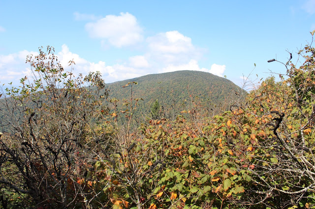
As we climbed, we hit several classic Catskill stair-steps, which took turns with the steeper sections until we emerged at a large area of witch hobble and berries around 3600 feet. The trees began to grow shorter in stature as well, allowing us to catch occasional glimpses towards the valley and neighboring Black Dome.
After fighting and clawing through a stretch of thicker witch hobble we emerged at a clearing with beautiful rock ledges above, just calling our names!
From our rocky perch, we enjoyed a magnificent vista back over the long ridgeline we had just climbed. Lake Capra(L) and Colgate Lake(R) sit down in the valley with the long ridge of West Stoppel Point above.
After a very short area of dense conifers, we suddenly emerged at the blue marked escarpment trail. From here it would be an easy day. We continued over to hit the 3940 foot summit, which we have both hit on multiple occasions, before heading south towards Arizona.
The drop off Blackhead is pretty steep, losing 500 feet in less than half a mile. At the base of the drop is a nice view towards Acra Point and the valley below.
From the meadow like summit of Arizona is a nice little view back towards Blackhead, which rises 500 vertical feet above.
A few feet away is a view down over Dutcher Notch and across to Stoppel Point. The long ridge of North Mountain can be seen beyond.
After a very steep descent off Arizona, we arrived at 2550 foot Dutcher Notch. This is a four way trail intersection in a small level clearing at a low point between the peaks. We turned left here, heading east down towards our first spotted car.
The yellow blazed Dutcher Notch Trail loses 1400 feet in less than 2 miles on an old, rocky road that was used as a farm to market passage in the nineteenth century. This was one of the more pleasant stretches as the trail drops off the eastern escarpment down to Storks Nest Road.
Arrived back at the car feeling great. A little over 7 miles RT with about 2200 feet elevation gain(mostly on the bushwhack).


No comments:
Post a Comment