Potash Mountain in Lake Luzerne is one of those peaks that catches your eye when you are below it and has an absolutely incredible rock face on its south side. It has always been a mountain I wanted to climb, but unfortunately it was private, so it was a no go. Very recently, however, a private land owner generously donated 107 acres at the base of the mountain, forming the Harris Nature Preserve. A second private land owner donated another 6.6 acres to connect the nature preserve to state land, meaning this peak is now open to the public! A parking lot has been created at the corner of Dunkley Road and Potash Road. A small sign for the Harris Preserve can be found at the back of the lot, but there is no other signage other than that. Elevation at the trail head is about 650 feet.
A herd path with sporadic flagging leaves the parking lot and enters the woods, wrapping around the southeast side of the peak.
The trail is pretty obvious and easy to follow, hitting state land about .3 of a mile below the summit. The climb from there is pretty steep.
A steep push up through open hardwoods, climbing nearly 500 feet in the last .3 of a mile.
The steep ascent immediately begins paying off, with a nice view opening up behind you to the southeast. I eventually lost the flagging, but the peak is so open that I had no problem negotiating my way.
I flanked the area just below the summit in search of the open rock above the south face. Soon enough, the views really began to open up.
There are incredible views all over the place and one can truly have a fun time wandering around the entire summit area.
A north view up the valley of Stewart Brook.
Thomas Mountain's southern ridge towering above the valley below. The power line cut out is clearly visible.
There is a nearly vertical 900 foot drop off the cliffs, so it is very important to keep back and be safe.
South view down towards Fourth Lake.
The final push up to the summit.
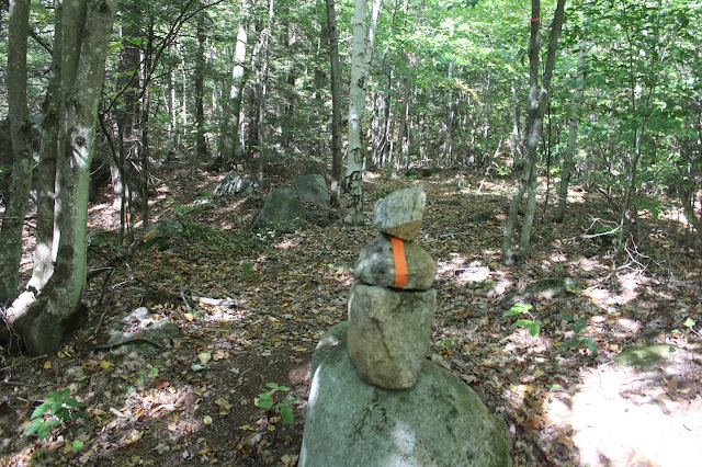
Potash Mountain's 1750 foot summit cairn.
The view southeast with Beech Mountain(L) all the way towards Bucktail Mountain(R). The Painted Pony Championship Rodeo can be seen down in the valley.
Another breathtaking view south towards Fourth Lake.
The entire summit area is gorgeous with much of it looking more like an open meadow than a mountain top.
After enjoying the summit for quite a while, I dropped back down to the flagged route, being careful to keep my footing in the steeper sections.
Near the parking lot, the trail travels beside a large rock filled drainage area, that was almost completely dry today.
Arrived back at the car after 2.6 miles of hiking with nearly 1000 feet of elevation gain. A short, steep, but fun hike. I'm sure this mountain will soon be extremely popular, with its beautiful views and relative short distance.


No comments:
Post a Comment