After about three quarters of a mile, the trail emerges upon the ridge and a trail junction with the Long Path/ Ridge Trail. This area, while beautiful, was severely burned in a forest fire back in 2015, leaving a stark landscape.
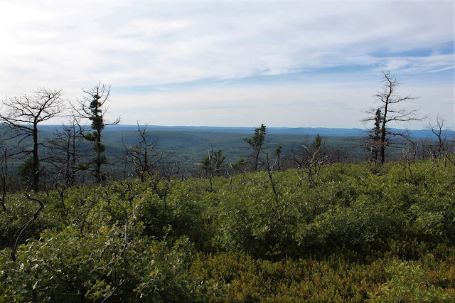
The trail passes through low vegetation and charred trees, which creates a very surreal scene. On a bright note, the view to the west from nearly this entire stretch of trail is outstanding.
Shawangunk conglomerate rock can be found all over the ridge and makes for fun hiking conditions.
A view towards the hills west of Ellenville.
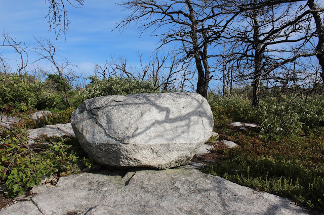
A dinosaur egg.
The trail eventually winds its way towards the east side of the ridge with some views opening up towards the Wallkill Valley to the east.
From a high point on the north end of the ridge, there are outstanding views of the cliffs on Bear Hill.
My favorite part of the hike was the descent off the high point, on large slabs of conglomerate rock dotted with pitch pines.
The views are sweeping and panoramic as the descent continues, only getting better as you go.
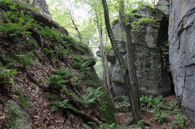
After 1.2 miles on the ridge, you arrive at another trail junction, where a right leads back down on the red trail. The red trail doubles back, heading south through fern glades directly below the towering cliffs of the ridge you were just on.
This part of the hike was very interesting as it heads directly between enormous glacial erratics and the huge cliffs.
Eventually the red trail begins its descent down through an open, airy woods.
Following a very easy to follow woods road back down to the parking area, completing a 3.25 mile loop.
After leaving the Cox Road parking area, I headed back north to the DEC parking area on Route 52. A yellow blazed trail heads towards the edge of the ridge.
Less than a quarter mile from the road, there is a very good view down the valley between Spring Glen and Ellenville and all the way north towards the southern Catskills.
The trail descents quite steeply down into a deep ravine, passing over a tiny stream.
Ascending out of the ravine back towards a red trail, which swings back up to the parking area, completing an easy 1.2 mile loop.
Hiked about 4.5 miles total on a beautiful late summer evening, enjoying a less traveled area of the Gunks. Only saw one other hiker the entire day.


Good morning,
ReplyDeleteThank you for this post on a lesser travelled area of the Gunks. I am not clear on exactly where this parking area on Cox is located. Can you plz help with a bit more detail on the starting point? Thank you. Bill
Traveling east on Route 52, turn right onto Cox Road to the parking area on the right side of the road, 347 Cox Road, marked by a DEC sign.(41.646294°N, 74.401382°W) Hard to miss once on Cox Road.
DeleteTravelling is beautiful option that you can perform during your free time. There is a number of tourist place that gives you a excitement during your tour of Shimla from Lucknow. This place is having a wonderful time spending with the hill stations and their activities.
ReplyDelete