With thunderstorms in the air and a small window of time this afternoon, I wanted to get out for a short hike, being sure to keep an eye on the weather. Major storms kept popping up all over the radar, so I headed southeast where the weather looked best. Unfortunately, as I arrived in the tiny village of Tyringham, there were some severe storms popping directly to the north. A quick check of the radar showed that it looked like it was going to stay above me so I set out under very eerie conditions.
Tyringham is a very sleepy, bucolic town just east of the much busier town of Lee and the Mass Pike. To get the Cobble, take I-90 to exit 2(Lee)in the Berkshires, then bear right onto Route 102 west, and then take a quick left at a traffic light onto Main Street(across from Big Y supermarket). Follow this for just over 4 miles and then turn right onto Jerusalem Road in the village of Tyringham. Less than a quarter mile along Jerusalem Road, a BNRC Tyringham Cobble Parking area will be seen on the right. Just past a kiosk and wooden fence, the trail enters a large, open field.
Ominous skies and the rumbles of thunder greeted me as I set out.
The trail forms a 2 mile loop and can be taken in either direction. All of the other times I had been here, I had hiked from the left, so this time I chose to go right. This section of trail traverses a wide open meadow, chock full of goldenrod.
A short red trail drops down to another access point at the back of the Tyringham Fire Department. I had never gone that way, so I took a stroll down to a very nice foot bridge over Hop Brook.
A view upstream of Hop Brook, as it meanders along.
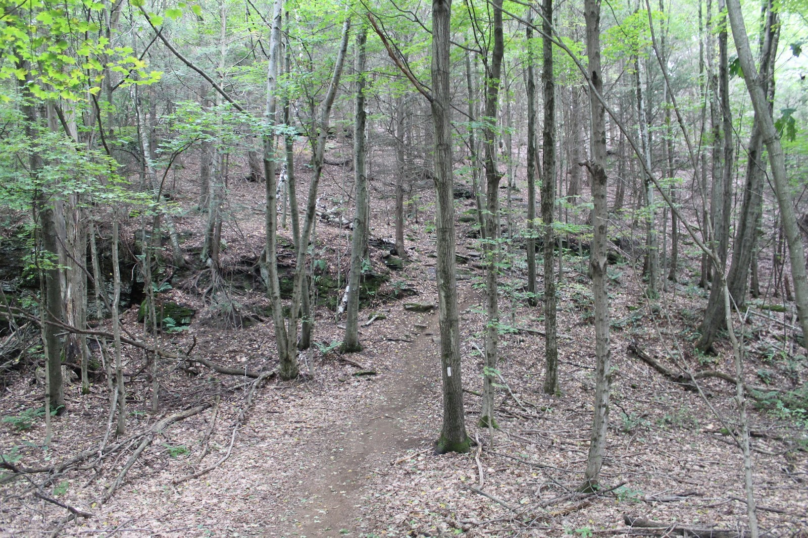
Turning back, I headed back up the steep slopes of the meadow on the north side of the Cobble, eventually arriving in the deep, dark woods.
Stone walls lace much of this former pastoral land.
The Cobble Loop Trail eventually meets up with the Appalachian Trail, and coincides with it up and over the summit area.
Arriving at a clearing on the lower, sub summit with very nice views to the north.
A zoomed view down to residences along Main Street.
After enjoying the views on the lower summit, I re-entered the woods, ascending up to the true summit.
Arriving at the summit ledge.
The summit view is very pleasant, extending far up the Tyringham Valley to the east.
A zoom view down to Church Street and the cemetery.
Early signs of fall seem to be popping up all over.
As I headed down, a rumble of thunder caught my attention and then a look back up at the darkening skies behind me over the summit got me worried. A quick check of the radar on my phone showed storms north of me and south of me. I hastened my pace from this point on.
Along the lower slopes of the Cobble is a large rock anomaly known as Rabbit Rock.
A closer look at Rabbit Rock.
The trail past Rabbit Rock provides glimpses through the trees down into the beautiful valley.
As I neared the close of the loop and the field back to the car, the skies finally opened up, unloading torrential rains. A last look across the fields at the incoming downpour.
Made it back to the car, drenched but satisfied. A gorgeous 2 mile loop hike in a very quiet corner of the Berkshires.


No comments:
Post a Comment