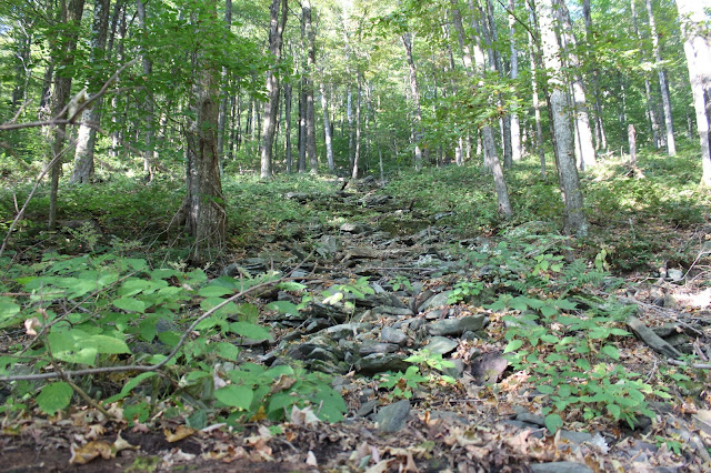
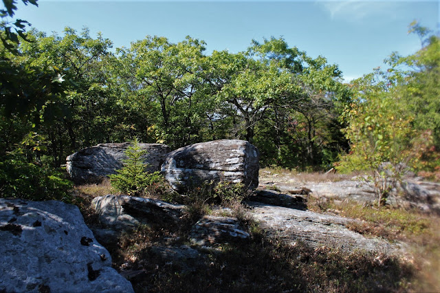
A small drainage on the steep slopes of Little Sam.
The ascent up Little Sam was steady and steep, and we both were quickly working up quite a sweat.
We stumbled across a small cave that looks like it might be used by an occasional hunter.
Just below Little Samuel Point's summit we encountered some typical large rock bands.
We arrived at the beautiful open meadow atop Little Sam, after an ascent of over 1200 feet.
From Little Sam, we caught a peek through the trees at what we believe to be Friday Mountain to the west.
The heat and humidity continued to climb as we headed west up to Samuel's Point.
The ascent up to Samuel's Point felt quite steep on a sweltering day.
Signs of fall.
After 650 feet of climbing and over 1800 feet overall, we arrived at the gorgeous park like summit of Samuel's Point. This made a perfect spot to stop and rest, as well as hydrate.
The 2885 foot summit of Samuel's Point.
After enjoying the summit area, we began our descent off the west side of Samuel's Point, dropping down into a large area of tangled mountain laurel. Most of these laurel were chest high to head high, making the half mile drop down to the col very annoying and difficult.
Once down into the 2500 foot col, we left the mountain laurel behind, heading west over rolling terrain. We crossed over a couple of minor peaks along the way, both with a unique clearing. The Witt can be seen hovering high above this 2900 foot bump.A small descent dropped us down to just under 2800 feet, leaving us in the deep shadow of The Witt. Although we were deep in the woods, we could see on our GPS that the summit was nearly 1000 feet above us, and a scant .42 miles away. We paused to hydrate and rest again, discussing an escape route if we couldn't find a way up. After a few minutes, we began our ascent. Almost immediately we hit enormous rock bands.
The ascent was tough with a couple of heart in your throat moments, but we always found a way up.
Just prior to arriving at the summit, we found a spot known as Scout Cave. This made the perfect spot to enjoy the Witt's views.
The views from The Witt are incomparable.
Southeast peaks and ridgelines.
The famous Wittenburg view.
Arriving at the 3780 foot summit was almost surreal after the ascent we had just made. We high fived each other, celebrating our bushwhack climb up the east face of Wittenburg Mountain. From the summit, we could see all the way down over Samuel's Point and to Traver Hollow where we had started. We hiked out on the marked trail, which felt like walking on a city sidewalk after our bushwhack. Total mileage for the day was 10.5 miles with over 3200 feet elevation gain. What a day!!!


Where is the trail head on bradkin road?
ReplyDeleteThere is no actual trailhead...just have to find where state land meets the road and squeeze your car off the road.
Delete