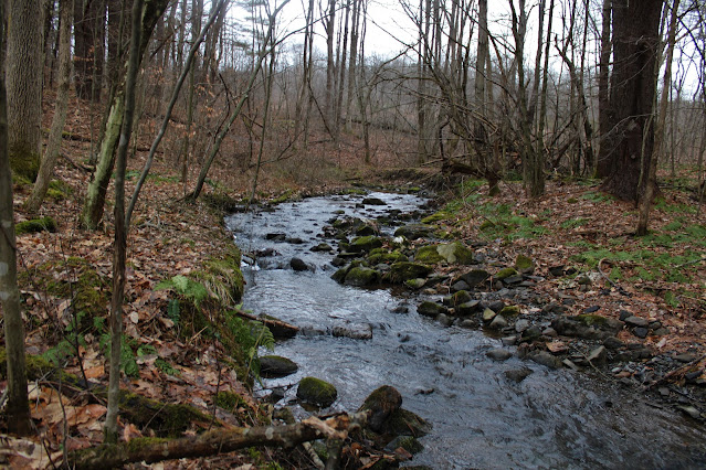
Had a small window of time to get out and hike this afternoon so decided to check out a small, unnamed peak in the Hand Hollow State Forest in rural Columbia County. The land I'd be exploring was part of a 2019 state acquisition that nearly doubled the size of the Hand Hollow State Forest. A designated parking area off the south side of County Route 34 provides access to this newest parcel of state land.(Elevation 980 feet). After leaving the car, I crossed an open meadow before picking up a woods road and dropping down to an easy rock hop crossing of Hollow Brook.
There are numerous rough logging roads in these woods, but I stuck to the most obvious one, which heads directly south up the slopes of the peak.
Once up high, the roads tend to peter out, but the woods are remarkably open so navigation is pretty simple. From about 1500 feet of elevation, over 500 feet above my starting point, I enjoyed filtered views to the north.
Unfortunately the state land does not continue to the summit, instead dead ending near this wolf tree on the summit ridge.
I wandered a bit, exploring some of the nooks and crannies of the slopes, seeing what the woods had to offer, but unfortunately, the early sunset chased me back to the car earlier than I had hoped. A nice and easy 1.8 miles RT, with nearly 600 feet of total ascent.
Map below. Red P=Parking


No comments:
Post a Comment