Headed into the rugged Litchfield Hills of NW Connecticut to hike a section of Sharon Mountain along the Appalachian Trail after work this afternoon. Parked along the shoulder of Route 7(Elevation 550 feet) near its intersection with Route 112 and headed into the woods with a biting, cold wind offsetting the nearly 100% sunshine. I wasn't sure how much ice or snow would remain in the woods, but I was surprised to find barely any ice at all!
Heading south, the trail immediately begins to ascend steeply up the ridge, passing over Belter's Bump, a small knob which reportedly used to have a nice view. Today, there is nothing more than a small clearing with peek a boo views to the east.

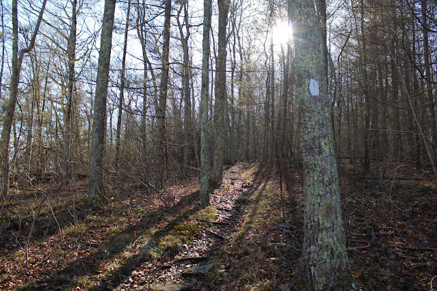
The climb south continues at a steady rate, winding up through a rocky hemlock forest.


The trail meanders along with a couple of small ups and downs along the way as the trail skirts a high point on the ridge. It was here, in one of these more sheltered locations, that I ran into the most ice I saw all day. Spikes woould be helpful in this section.


No comments:
Post a Comment