Did a part trail/ part bushwhack hike along the East Branch of the Sacandaga River and up to a sub peak of Diamond Mountain in the heart of the Siamese Ponds Wilderness Tuesday. The weather was perfect for early April with temps warming into the middle 50's with partial clearing as I searched for a "Diamond" in the rough . I parked at the Eleventh Mountain Trailhead along Route 8 to get started(Elevation 1775 feet) and was the only car there when I arrived. I set out northwest on the trail, which was a more of a wide old woods road, following blue blazes through a combination of mud and lingering ice-but luckily mostly dry conditions.
.JPG)
The trail basically hugs the lower, western slopes of Eleventh Mountain, gaining elevation slowly but steadily before eventually dropping down near the East Branch. As the trail descends, it gets much wetter-and even snowier-in the darker conifers.
.JPG)
After 1.5 miles of hiking along the trail, I arrived at the footbridge over Diamond Brook, which was not the sturdiest looking bridge I've ever seen, but it was more than suitable for crossing.

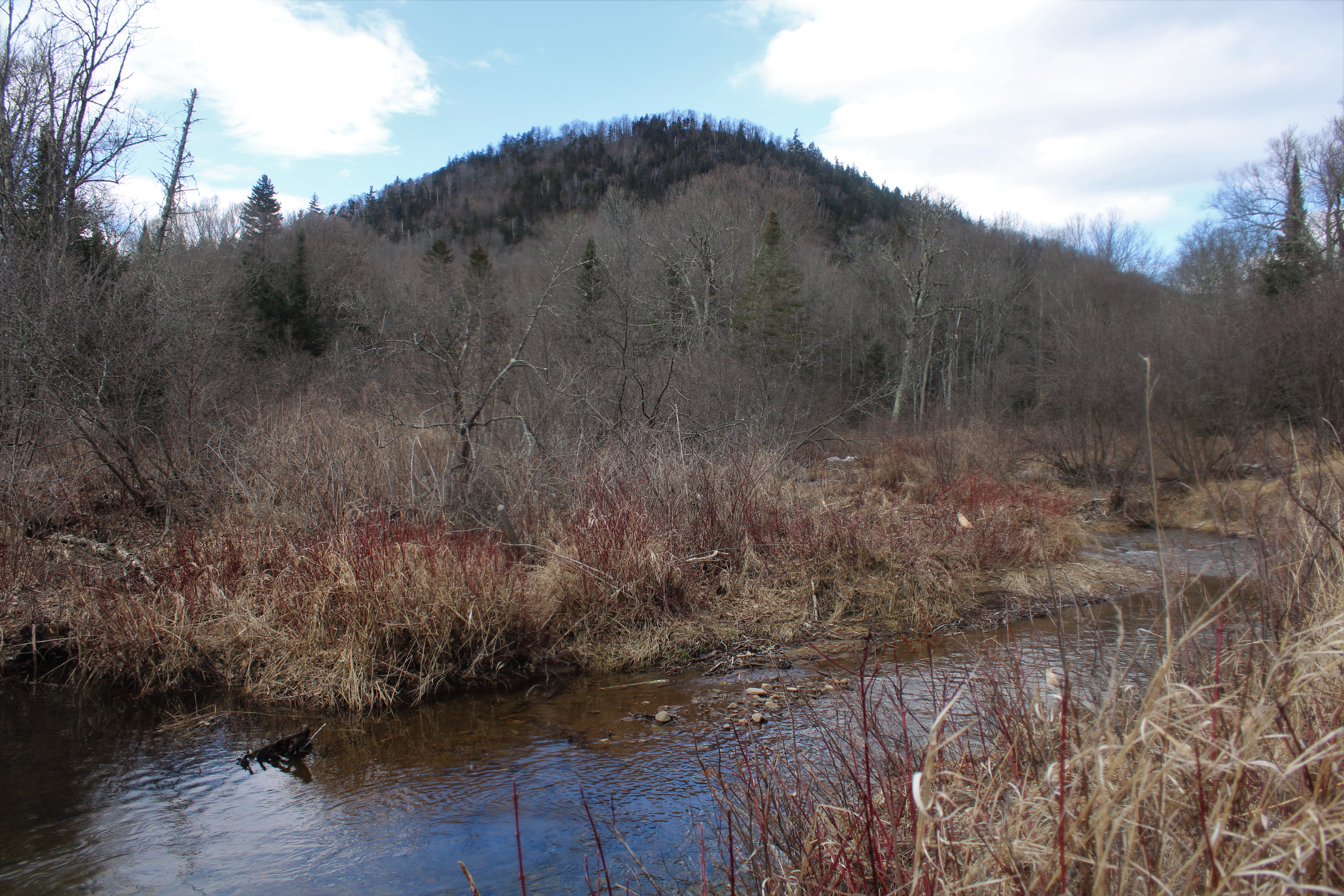
Once back on the trail and across the brook, I continued heading NW, closely paralleling the East Branch. There were several spots along the way where I was able to pop in and soak in some nice river views.

Although we are well into spring now, large ice chunks on the river's edge were a reminder that winter isn't yet in the rear view mirror.


South facing views from a ledge at about 1950 feet.

The woods near the ledges grew increasingly thick and hard to move through, so I headed back away from the steepest slopes and into the wide open hardwoods.


Once back on the trail, it was a nice and easy hike back to the car for a total of 5.5 miles RT with over 1400 feet of combined ascent, and didn't see another soul all day!
Map below. Red=Trail hike Blue-Bushwhack Black P=Parking

Another one of those "I wonder what it looks like from up there?" peaks.
ReplyDeleteSubtle differences between these views and 11th Mt. ledges. I like the SW looks.
Thanks for adding another one to my list ;)
Yeah, I think you'll enjoy this little 'whack. These ledges aren't quite as open as the ones on Eleventh but the views are still nice. There could be more views if you poke around but it's a little thick and VERY steep so not sure. A fun little hike nonetheless!
Delete