My buddy Jim and I both have a soft spot for the Catskills and we both enjoy returning to them again and again. So, bright and early Monday morning we met up at Ski Run Road in the Northwest Catskills to climb Roundtop and Bearpen Mountains in the Bearpen Wild Forest. Although I had previously climbed Bearpen, it had been in winter, so I looked forward to seeing it in early autumn. As for Roundtop, this would be a brand new peak for me(and also a Catskill 100 highest). We parked at the entrance to Ski Run Road and got going on a gorgeous late September morning. Elevation at the start of the hike was exactly 2000 feet.
Ski Run Road can actually be driven for about a mile or so but we chose to walk it, enjoying the quiet woods and stone walls lining the road.
The climb up the road is steady, but not strenuous, gaining about 1200 feet on its way to a large clearing in the col between Roundtop and Bearpen.
Once in the clearing, we turned right, following an obvious road until we hit a large stand of prickers, in which case we chose to enter the woods and bushwhack to the summit.
Here I am at the wooded 3440 foot summit of Roundtop, after about 2.75 miles and 1440 feet elevation gain.
Although there are no views at the summit, a short bushwhack southwest and about 50 feet lower in elevation, is a phenomenal view down over Buffalo Hollow.
After enjoying a snack and the views on Roundtop, we headed back up to the summit and then retraced our steps back down to the clearing in the col between the two peaks. From there we continued south, up the long ridgeline of Bearpen Mountain. Jut prior to reaching the summit, we passed a small pond, with the actual summit just beyond and some 150 feet higher.
The toughest climb of the day got us up to the 3600 foot summit of Bearpen, which is wooded with no views. There are, however, spectacular views from several different spots near the top. Here I am soaking in the view south and west from a series of rock ledges.
A short walk across the trail provides another viewpoint, with great sweeping views to the west, north and northeast. Here's a look back west towards North Bearpen and Roundtop.
A north view towards Huntersfield and Richmond Mountains as well as the valley of the northwest Catskills.
A bit further along the trail is a nice north view up Route 2 from one of the old ski runs.
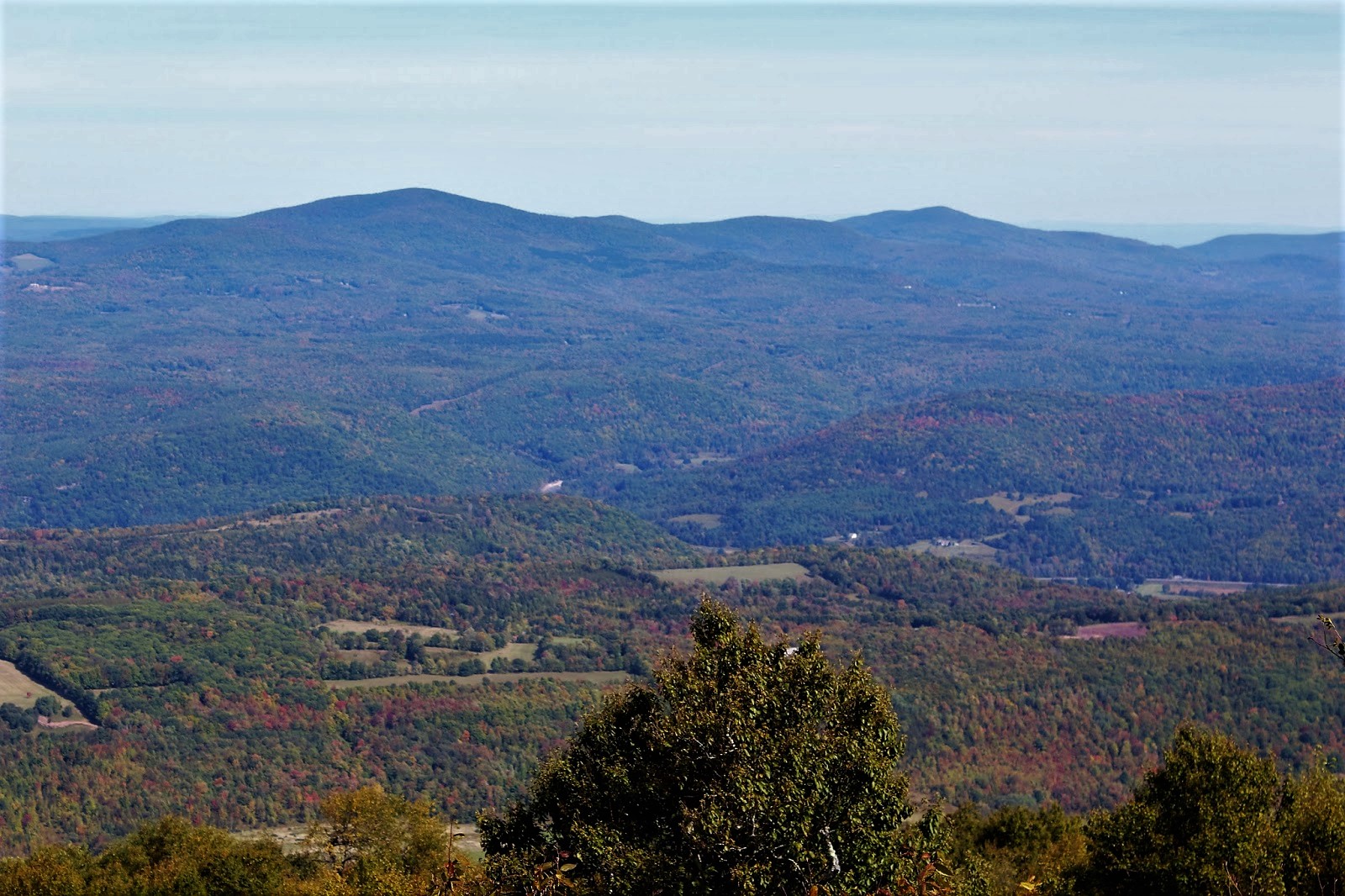
A glimpse at the Schoharie Reservoir.
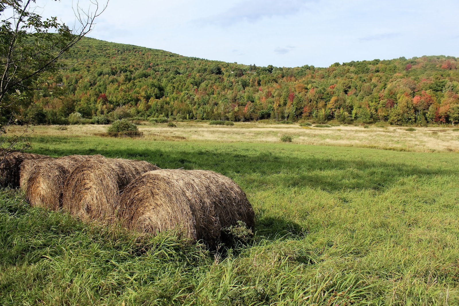
Catskill farmland.
Arriving at the large campsite with nice views towards the Reservoir.
We continued along the ridgeline, before dropping south and east on snowmobile trails on our way to the discontinued north section of County Route 3. The old road was very rocky and steep in spots, with broken views towards nearby Vly Mountain along the way. Here is Jim at the end of the old road, nearing the modern day, paved County Route 3 just ahead.
Looking back at the old road.
We walked along paved, but very quiet(only 4 cars passed us the whole way) County Route 3 and then Country Route 2 for 2.7 miles back to Ski Run Road. While this may not sound very enjoyable, the rural scenes, babbling Little West Kill and fall colors made for a very nice walk.
Hiked about 11 miles(with the road walk included) on a very nice, breezy early autumn day.


Bearpen is a fun mountain to explore. There used to be a downhill ski place there. You can find some remains of the lifts - they used old truck engines to drive the lifts. There is also access via Heisinger road (off Don Irwin road) via an old road.
ReplyDelete