With temps closing in on 70 degrees, I decided to head out to the western Catskills to hike 2812 foot Bramley Mountain, where the DEP has built a pair of trails in the last couple of years. The trailhead is located on the east side of Glen Burnie Road near the Delhi/ Bovina town line. Elevation to start the hike was about 1940 feet.
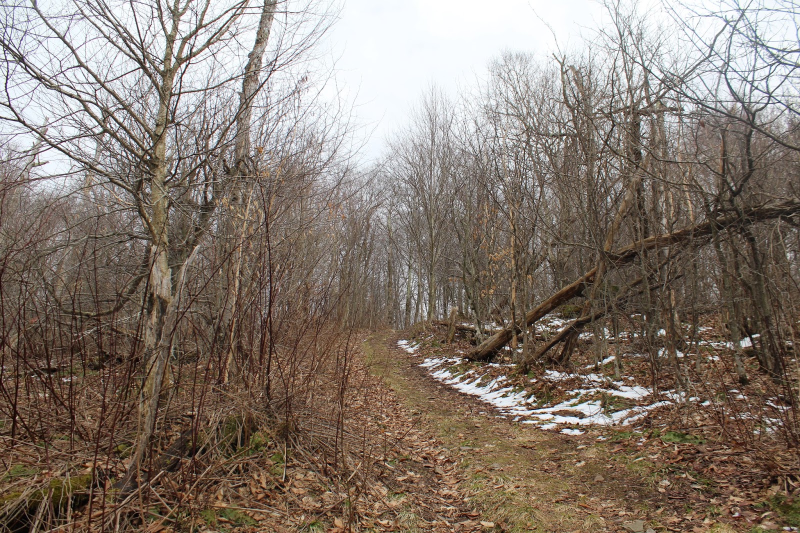
I followed the red "summit" trail, which follows an old woods road past old stone walls.
Seemed odd to be passing snow while sweating in near 70 degree temps and swatting bugs away.
As I neared the summit, the woods began to open up and the dirt woods road was replaced by grass.
The ridge leading to the summit, which looms just ahead.
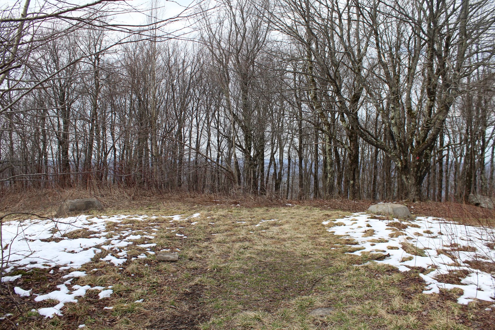
The outstanding summit view.
Summit views.
The 2812 foot summit, where the red and blue trails converge.
Dropping down on the blue trail, a small ledge offers up a nice view to the north.
Snow holding on up high....spring well under way down in the valley.
The blue trail winds its way down the slopes, using switchbacks to ease the grade.
A large rock overhang on the decent.
Stone walls lace these woods.
The quarry near the base of the blue trail.
Hiked both the red and blue trails for a total of 3.8 miles with 900 feet of ascent.


No comments:
Post a Comment