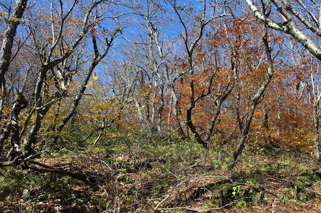
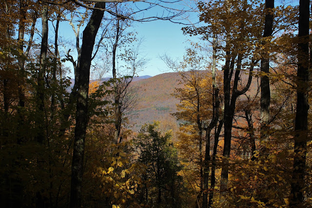
At the far edge of the meadow, I began my ascent in a mixed forest, passing by old stone walls.
As I gained elevation, I soon heard the sounds of rushing water, which was a pretty drainage tumbling down the north slopes of Balsam Mountain(the one that doesn't count due to prominence).
I crossed over the drainage and continued heading south/ southeast picking up several old woods roads along the way.
The steep slopes were covered in a canopy of gold. An absolutely spectacular day in the woods.
While the slopes of the mountain were steep, there were almost no ledges or tricky areas to contend with so I made good time ascending. Fallen leaves hiding slick, jumbled rocks was actually the biggest issue. As I headed up and over 3200 feet, the trees became noticeably shorter and beech began to replace the maples.
Once atop the summit ridge, I found a myriad of herd paths and easily found the one that headed right up the summit. Met the caretaker of the canisters, Jim Bouton and Margaret(who I had previously hiked with last week)at the top. I signed in and caught up with them for a few, before continuing on.
I continued on a short distance beyond the summit, dropping down to the near vertical slopes SE of the summit. A small perch provides breathtaking views east towards neighboring North Dome.
SE views extend over the Broadstreets towards Mount Tremper and eventually all the way down to the Ashokan Reservoir.
After enjoying the views, I began heading back, crossing over the summit and continuing NW towards the saddle of Balsam Mountain. I came to a large, flat area just below 3300 feet that I decided to call Sherrill's plains.
Before hitting the saddle, I decided to drop down into a steep cirque, heading back towards Spruceton Road. From a drainage crossing at about 2600 feet, I found this sliver of a view towards Packsaddle Island.
The descent was very pleasant, as I dropped steadily north through a gorgeous hardwood forest.
Found a peaceful spot along one of the drainages which was quite swollen from this week's rain storm.
At about 2400 feet, I came to a spot where the drainages come together, eventually draining down into the West Kill.
Back down on the lower slopes, which leave DEC land and re-enter DEP land, I passed over a very good woods road that was in decent condition, but headed away from the direction I was going.
Finally emerging from the woods and back at the meadow I had started from, I was treated to this view of Packsaddle Mountain, a Catskill Hundred Highest peak.
A short walk back across the meadow got me back to the car and ending a wonderful day in the woods. A little over 6 miles RT, with 2200 feet of ascent for the day.
Today's route below. Red=Ascent Blue=Descent


cochresAhaeyu Sam Taylor programs
ReplyDeleteClick here
moordmodasam