After carefully studying a Catskill map recently, my buddy Jim and I discovered a very small sliver of state land that could provide us access to the 2250 foot northwest summit of Mount Tremper, which appeared to have an impressive set of ledges. We decided to call it Tanbark Peak because there is a Tanbark trail much lower on the slopes of the mountain(which also provide nice views towards Route 28 and Phoenicia).
Our access point today was a very small sliver of state land on School Lane in Phoenicia at a low elevation of about 900 feet. We had to park the car in town and then road walk to state access because there was no available parking.
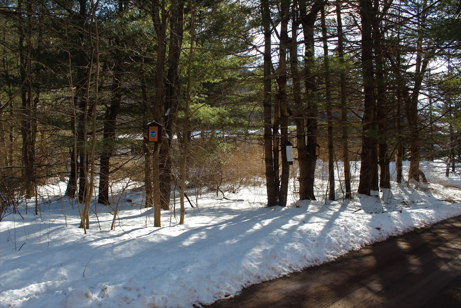
The state land headed up away from the road in a very narrow band, before finally emerging on one of many woods roads.
Jim stopping by to check out some of the interesting rock formations that we passed by.
During our ascent, we stumbled across the remains of an old quarry, which has turned into a bit of a mushy, swampy area now.
Although the temperatures were in the teens, the strong March sun felt great, and warmed us up quickly as we climbed.
More rock formations along an old woods road.
In one particular rock formation, we found what appeared to be a hunters blind...or possibly a shelter of some kind.
Our entire bushwhack was almost entirely through open hardwoods, but we did manage to find a couple of small hemlock and spruce stands.
The ascent was steady, but never overly steep, and as we neared 2100 feet on Tanbark Peak, we decided to skirt an area of ledges in search of views. This proved to be a great idea.
The ledges we found were the ones that we have seen from Phoenicia below. These ledges extend quite a ways along the south rim of the peak and offer up staggering views south. Route 28 and the Esopus can clearly be seen in the valley, with Phoenicia to the right. The peaks extend all the way from Romer in the foreground to Witt, Cornell and Slide int he distance.
Jim decided to catch me soaking in the incredible vista.
Mount Pleasant(L) and Romer Mountain(R) look quite impressive, hovering directly above Route 28.
Wandering the open ledges, where a sliver of a view SE towards the Ashokan Reservoir could be seen.
To the SW, Panther Mountain is quite a site. Its many ridges can be seen from this vantage point.
A closer look at Phoenicia, nearly 1400 feet below.
The unmistakable profile of Wittenburg and Cornell to the left, and almighty Slide Mountain to the right.
Continuing along the ledges, with more SE views opening up towards Boiceville.
We were so impressed with these ledges that we decided to rest here and take lunch. The views alone were amazing, but the open oak forest made for ideal conditions.
After enjoying a peaceful lunch, we decided to continue on, soaking in one more incredible view for the road.
The drop off Tanbark Peak is not substantial(less than 200 feet), meaning it doesn't count as its own peak, separate from Mount Tremper. Here is a shot in the saddle of the two, at about 2075 feet.
Nearing the summit of Mount Tremper, we found yet another small grove of hemlocks in a hardwood forest.
From a small ledge on the north side of the summit, I found this view down towards the valley of the Beaverkill and the hamlet of Willow. Cooper Lake can just be made out over the shoulder of Mount Tobias. The Hudson Valley is way off in the distance.
Emerging at the summit of Mount Tremper and its fire tower.
From the fire tower(the top step because the cab was locked), the views are great. Mount Tobias, seen here to the east.
Ticetonyk Mountain to the SE.
To the northeast, the incredible row of Catskill ridges is really something to behold. In the foreground is Hoyt Hollow Peak(the informal name of the unnamed peak), with the valley of Silver Hollow down below.
We began taking the trail down off the summit, but did a little more off trail exploration on the summit ridge first. Conditions were almost perfect, so we wanted to make the most of it.
A nice and easy trail hike brought us down to our spotted car at the Mount Tremper Trailhead.
Totals for the day were a bit over 6 miles total(half trail and half bushwhack) and nearly 2300 feet of ascent.


No comments:
Post a Comment