Ah, spring. Spring is now practically right around the corner with longer and warmer days finally upon us, affording me more after work hiking opportunities. On Wednesday, such a day presented itself, so I headed down to southern Columbia County to check out the 612 acre New Forge State Forest. I have never been here before, so this would be a brand new adventure for me in an area I'm somewhat unfamiliar with. The rural back roads in southern Columbia County offer the traveler the chance to take a step back in time to a slower pace of life. Pictured below is the Taghkanic Center Church located roadside in the nearly forgotten, tiny hamlet of Taghkanic.
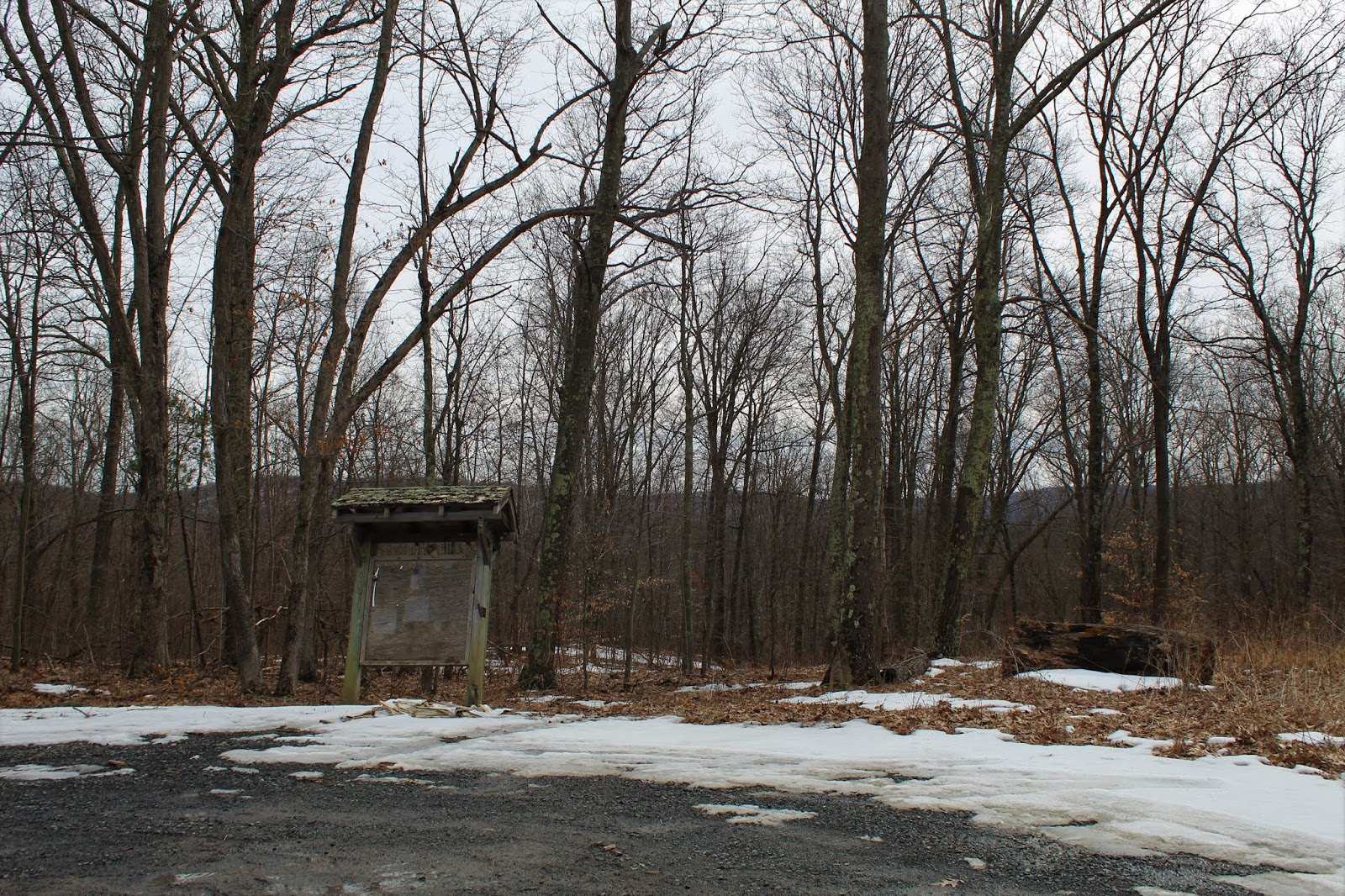
The New Forge State Forest can be accessed from two different parking areas. The north access area is located in a dirt lot off of Notzel Road, almost at its junction with County Route 10, with a blank kiosk at the far end of the lot. I decided to start my day there, under cloudy skies, and a temperature in the low 40's.
There are no marked trails from this parking area, so I basically followed a herd path in a downhill direction before it met up with a woods road. I followed that east until I hit private land, then bushwhacked south through a large wetland.
I eventually made my way over to the State Forest's centerpiece, Taghkanic Creek, which basically splits the forest in two.
I followed the creek for a ways, through thick underbrush and melting snow/ ice. I couldn't find any herd paths, so I tried to take the path of least resistance.
After soaking in the quiet serenity along the creek bank, I turned back north, passing back through more sprawling wetland.
An easy bushwhack brought me back towards the woods road and herd path I had found earlier, which in turn brought me to the car. Once in the car, I realized I had a couple of ticks on me. I quickly picked them off and sprayed myself down. I nearly forgot about the down side of spring weather.
A short 5 minute drive lead me to New Forge Road, and its spur, where the State Forest's south access is located. I parked at the bottom of the access road, which was still coated in blanket of snow, and headed a few steps away to the sounds of rushing water. An impressive tiered set of falls on Taghkanic Creek is easily enjoyed from here.
I walked the shore up beyond the falls to the remnants of some form of a dam.
The creek upstream of the dam is wide and mellow, taking on the appearance of a small pond.
From the creek, I turned east through a beautiful pine forest, beginning a steady ascent.
I was a bit shocked to find red DEC trail markers heading up the small peak, but it lead generally up to the top, following another woods road. Once up high, I left the trail and headed over to a small, south facing viewpoint.
There are three small, rocky knobs in the state forest, each with some nice ledges and screened views of the surrounding hills.
From the tops of the steep west facing slopes, I found more filtered views towards the rural countryside and farmland below.
Although under 950 feet, the topography in the forest here is quite steep, rising nearly 400 feet above the valley floor. NW views towards the highlands around the Taconic State Parkway.
Back on the marked trail, I followed it up to the 937 foot summit, which was uneventful and wooded. Only a short few yards away, however, to the east is a very nice, open area, with more screened views. On a sunny day, this would make a real nice spot to enjoy lunch.
From the open area near the summit, I enjoyed NE views as well.
The rest of the hike up high was partially on trail and partially off. I continued north over the other wooded bumps in the forest, before a steady descent off trail brought me back down to a woods road.
Once on the woods road, I followed it for about 3/4 of mile south/ southwest all the way back to my waiting car. Although unmarked, it is easy to follow with slight ups and downs along the way.
My route through the State Forest, separated by a 5 minute drive from the north to south parking areas. Hiked nearly 5 miles RT, with over 1100 feet of ascent for the day.


No comments:
Post a Comment