Headed over to the Berkshires to do a little exploring north of Route 2 along the Hoosac Range to an open ledge known as Hot Point in the little known Florida State Forest. Utilized an unmarked woods road off of Route 2 to park my car a short distance in. (Elevation 2010 feet). From there, I continued on foot north along the rough, damp and muddy woods road under cloudy skies.


There are actually two large beaver ponds here, but the northern one sits on private land, so I crossed the wetlands between the two to stay on state land.

Continued my bushwhack north for another 3/4 of a mile, criss-crossing more woods roads along the way before beginning my descent west off the steep slopes of the Hoosac Range. Crossing a small but fast rushing drainage just prior to the big drop.

Due to the odd layout of state land, I was forced to bushwhack back south another 4/10 of a mile, while dropping 300 feet on some very steep slopes. This was by far the toughest part of the entire hike.

Sitting unassumingly at about 1800 feet of elevation, high above the rugged slopes carved out by Canyon Brook is a wide open rock ledge called Hot Point. The view west/ southwest towards the Greylock Range is spectacular.

This view looks more southerly with the fall colors clinging to the Hoosac Range, as well as the Greylock Range fighting off some low clouds to the right. A careful eye can pick out Ragged Mountain's long ridge just in front of Greylock.

The west view from Hot Point, with the Greylock Range(left), North Adams down in the valley and Bald Mountain(Clarksburg State Forest) to the right. The Taconic Range is in the distant center.

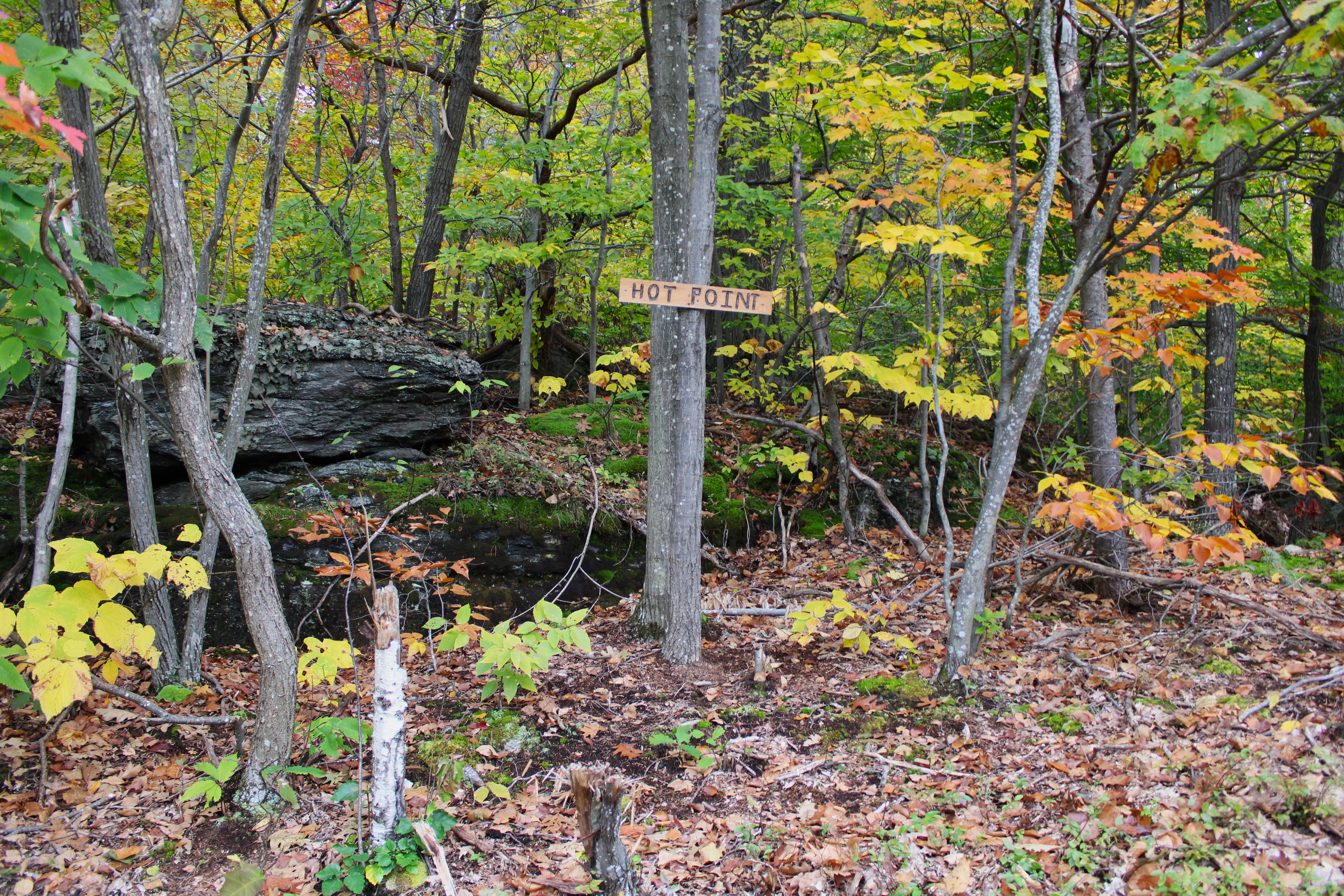
Surprised to find a sign at the point.

In a small clearing, back up over 2000 feet, I found some more nice views west over the Clarksburg countryside and into southern Vermont.

SW views from the clearing, partially blocked by one tree.

Once back over 2200 feet, it was a nice and easy bushwhack east to a series of woods roads that headed south.

A woods road crossing over Canyon Brook.

Autumn splendor deep in the quiet forest. While tame here, Canyon Brook comes thundering down the Hoosac Range's steep west slopes less than half a mile from here.

Continuing my way south, from the edge of state land, I was able to get a through the trees view towards the fully private, northern beaver pond.

Firmly on state land, I enjoyed exploring the east shoreline of the large, southern beaver pond.

Combined a bushwhack with a myriad of woods roads to make my way back to the car for a total of 4.2 miles RT, and over 800 feet of total ascent. Unfortunately the clouds never broke up as they were forecast too, but the nice views and remaining fall foliage more than made up for that.
Map below. Red P=Parking Red X=Hot Point

Great hike. We do miss our hikes and walks but at our age 80 & 90 we are happy with just a little walk. We do enjoy yours though.
ReplyDeleteGlad you enjoy the blog!!
Delete