Headed over to the NW corner of Connecticut to do a little exploring on a pleasantly cool Halloween. My first stop would be untrailed Mine Mountain in the Housatonic State Forest starting from Eggleston Road in the town of Sharon, where an unmarked pull off(elevation 900 feet) provides access for 1 or 2 cars. As I entered the woods, I was immediately greeted with a "Closed Area-No Trespassing" sign, but upon closer inspection it showed that it's only for April 15-October 17th for some reason. I was safe to proceed.
The climbing is steep right out of the gate but I was able to pick up a good hunters path up to aid the way. On my climb I passed by an enormous "Aircraft Carrier Rock" akin to the one in the Catskills.
From the SW knob, I headed north to the NW summit knob, which was fully wooded. This is marked as the summit on some maps but is clearly not he high spot. From this knob, I proceeded east and then up a rocky slope towards the true summit.
The summit ridge was surrounded by mountain laurel, but the 1395 foot true high spot itself sits in a nice clearing.
From the summit, I pushed east through some thick mountain laurel before hitting more wide open hardwoods and many through the trees views. There is one nice southeast facing view up the Carse Brook valley with Pine Swamp Hill on the left.
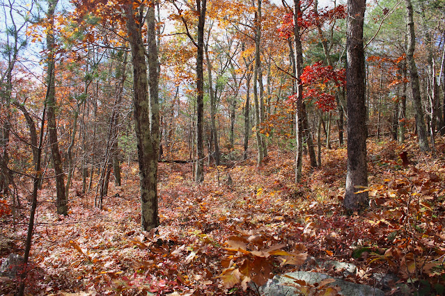
Although fleeting, there was a bit of fall foliage hanging on. Sometimes, if the conditions are right, the woods themselves can be even prettier than the long distance vistas.
My final "high spot" on the mountain was the SE knob, which sits in a very large, grassy clearing.
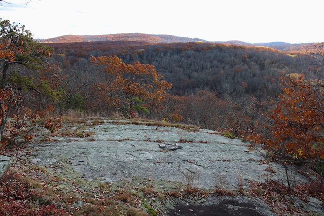
The views from this knob are very open and quite nice. This is the view south.
SW views are a bit obscured, but still okay.
From an even broader and flatter rock slab, just below the other ledges, there are more scenic views to be enjoyed.
After enjoying the views, it was an easy bushwhack back down towards the car on Eggleston Road for a total of 2.2 miles RT and over 500 feet of ascent. A lot of bang for the buck on this small mountain.Map below. Red P=Parking Red X's=Views


must be closed because of some animal ... maybe rattlesnakes?
ReplyDeleteYeah, I've never seen a whole mountain closed off like that when not tied into hunting season.
DeleteBat habitat?
ReplyDelete