Had a day off work and nowhere to be so I planned on a full day of hiking. The coolest air of the season has been moving in over the last day, so I threw on an extra layer and headed out early. Found myself in the southern Berkshires, and Great Barrington to start. Figured a cloudy, cool, Wednesday morning would be a good day to head up Monument Mountain. A Berkshire favorite, this trail sees constant foot traffic throughout the year, so there's not a lot of good times to enjoy any solitude here. Sure enough there were half a dozen cars at the trailhead, but I only ran into a couple of people along the trail. Temps were only in the mid to upper 40's so it was great walking weather. Much of the mountain is made up of rock. From rocky trails to rock face cliffs, it is certainly a rocky area.
The trail is only about 2.7 miles RT, but the views are fantastic all along the Squaw Peak trail. Here is one of the early views that open to east.
Zoomed in on developments.
The summit is only 1642 feet, but the rock ledges give the impression of being much higher. It is extremely steep near the edges.
Views down to the football field at Monument Mountain High School.
Views are expansive to the west as well all the way into New York state.
Distant mountains in New York.
Looking north towards another small peak and Agwam Marsh.
There are some steeper sections coming down the mountain. Here are some steep rock steps.
After leaving Monument Mountain I drove south to Mt. Washington State Forest. The next destination was Alander Mountain. This is a longer hike at 5 miles RT but the views are well worth the work.
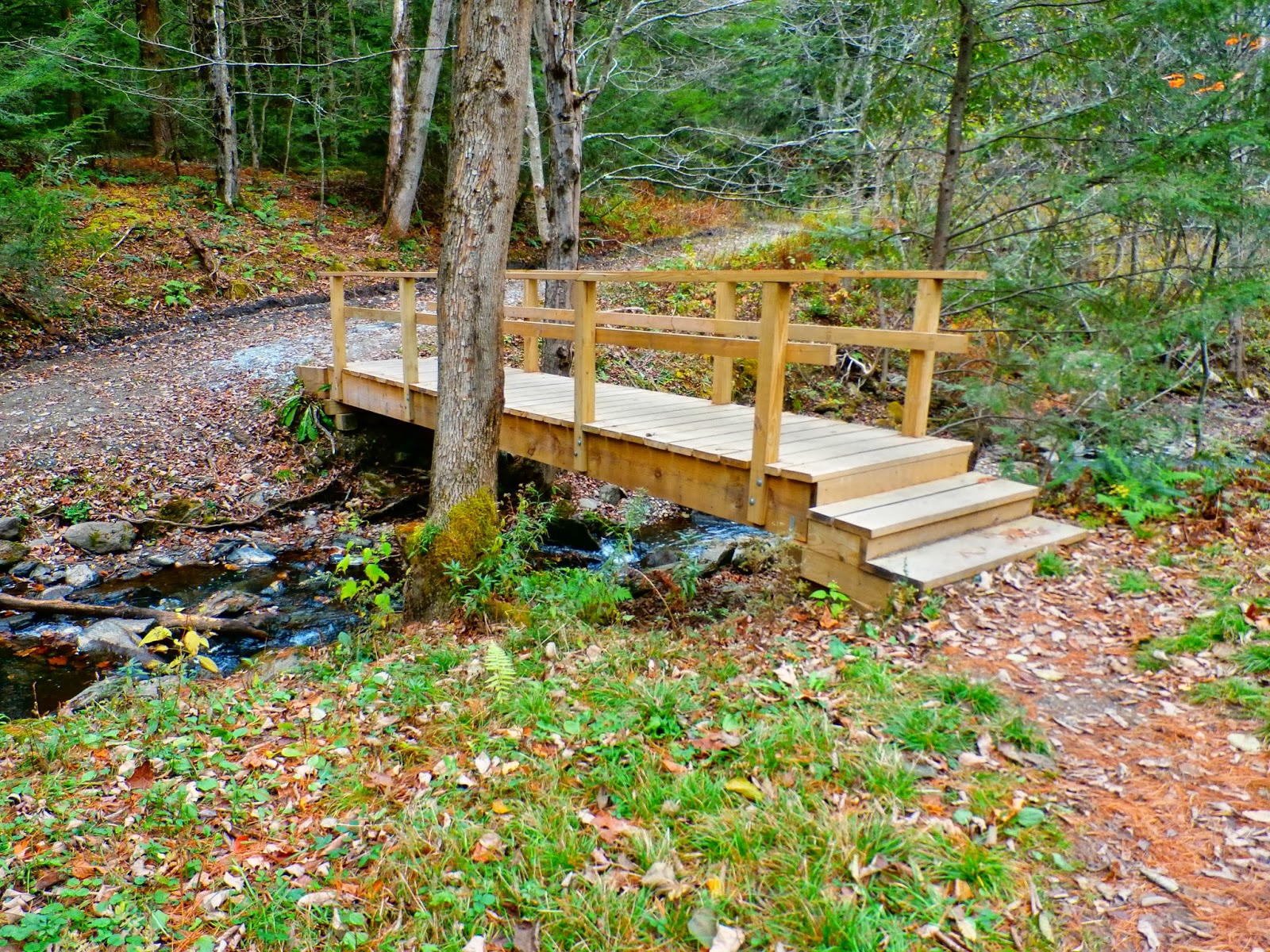
There are several water crossings along the trail. Here is a nice footbridge crossing Lee Pond Brook.
A little further along the trail, Ashley Hill Brook comes flowing off the mountain with small cascades.
Ashley Hill Brook.
The trail has a few steeper sections, but is mostly a gradual climb for the 2.5 mile length. Near the summit is a small cabin, open to any who wish to stay. No reservations required, simply first come first stay. It is a very basic cabin, but it is a shelter and there is room for several.
Just up the hill from the cabin is the open summit of Alander Mountain. Views are outstanding in nearly all directions. The footings of an old fire tower remain at the summit.
To the southeast are the three peaks near the Massachusetts and Connecticut border, Mount Ashley, Mount Frissell and Brace Mountain.
Expansive three state views to the south.
The trail leads to a lookout ledge at the southern tip of the summit.
With the sun finally out, the views were incredible.
After completing the 5 mile out and back hike, I headed back through Mt Washington State Forest and then east to Bash Bish Falls and its steep ravines. The falls and its trails basically straddle the New York/ Massachusetts state border. Near the Massachusetts parking area, is a short but steep rock scramble to a fantastic view west through the Bash Bish ravine
Immediately to the north are the rocky cliffs of Cedar Mountain.
The walls of the ravine are extremely steep.
After a short, but very steep hike down the ravine is the gorgeous Bash Bish Falls.
After a steady climb back to the car, I had one last stop just a little ways away. This last stop was just across the New York state line at the South Taconic Trail, leading to westerly views from Sunset Rock. A short .6 mile walk along the trail from the Sunset Rock Rd parking lot leads to the views.
Views are somewhat obscured from the vegetation growing around the rock. Still, the views west over the Columbia County valley is beautiful.
Looking to the north.
Outstanding views across the valley.
In total, I hiked nearly ten miles today. A very full day.


No comments:
Post a Comment