Just east of the High Peaks sit an array of small peaks that have much to offer the adventurous explorer. While few trails go up these mountains(or hills), and most folks fly on by on their way to the High Peaks, sometimes it pays off to check out these lesser known spots. With only a half day free today, my goal was to do a fairly short bushwhack from Route 9 in New Russia, just south of Split Rock Falls, up to 1959 foot Split Rock Mountain. I parked on the east side of the road at the unmarked beginning to an old woods road and set out from there.(Elevation 900 feet) I followed the road for a distance, but it seemed to veer too far south, so I left it and began my true bushwhack east.

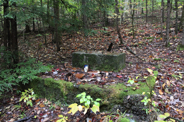
As I headed east, I soon passed over another(or possibly the same)woods road and then came to what appeared to be an old homestead site, with interesting old artifacts.


As I waited for the fog to clear, I headed over to a more south facing viewpoint where the fog had cleared out a bit, and a nice view had finally opened up. The view takes in New Pond and the rolling hills south near Exit 30 of the Northway.

Fall foliage and slowly clearing skies made for a very nice vista!

With only a half day available I decided not to waste any time and swung around to the more west facing views again but to no avail.

On my descent, the fog began to break up just a bit, providing a decent SW view over Route 9.


Headed back down basically the same way I came up for a total of 4 miles RT, with about 1100 feet of ascent. I will definitely be back on a clear day to capture the views I missed today!
Map below. Red X=Parking Blue X=Ledges

Definitely a wonderful little mountain to bushwhack to. Unfortunately, I believe the state is planning to build a trail up to this spot in the coming years, as well as ski trails throughout the surrounding woods. If you want to go back on a clear day, be sure to do so soon!
ReplyDeleteUgh..another marked trail-the words I dread to hear. Although, in all honesty, I'm happy that the general public can enjoy such a beautiful peak, (just as long as it's after my return though-haha). I had heard similar things regarding Iron Mountain(across the valley) several years ago, but not sure where that ended up. With hiking's booming popularity, I guess these types of changes can only be expected.
Delete