With today being forecast as the only dry day of the week, I took advantage of the weather and drove north to hike 3694 foot Hurricane Mountain in the northern Adirondacks. There are three different trail options to the summit. I started from Route 9N just west of Elizabethtown, where the trail climbs 2000 feet in 2.6 miles to the bald summit.
The trail begins across the road from the parking area and begins to climb immediately.
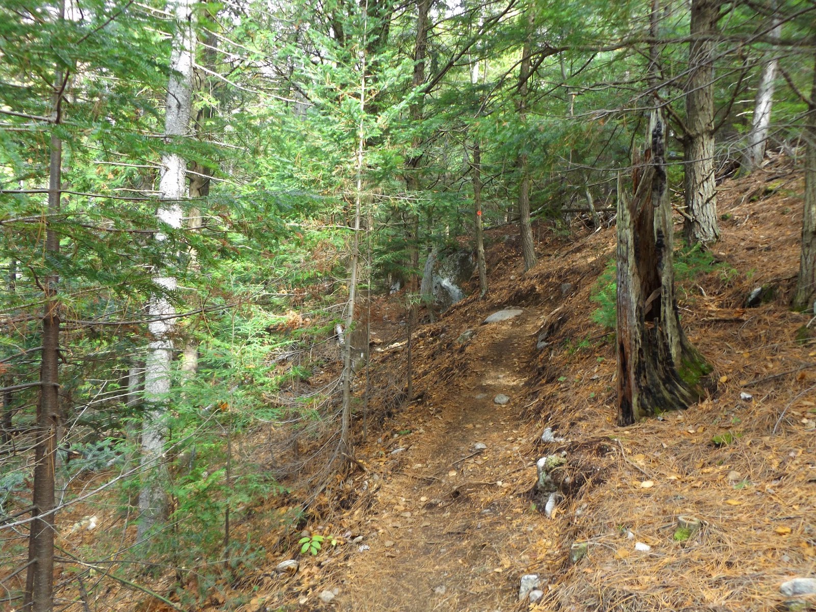
There have been recent trail renovations meaning trail reroutes.
Rushing water can be heard just off trail in a couple different spots on the climb up the muntain.
The trail maintainers have done a great job placing wooden planks over many of the wet sections.
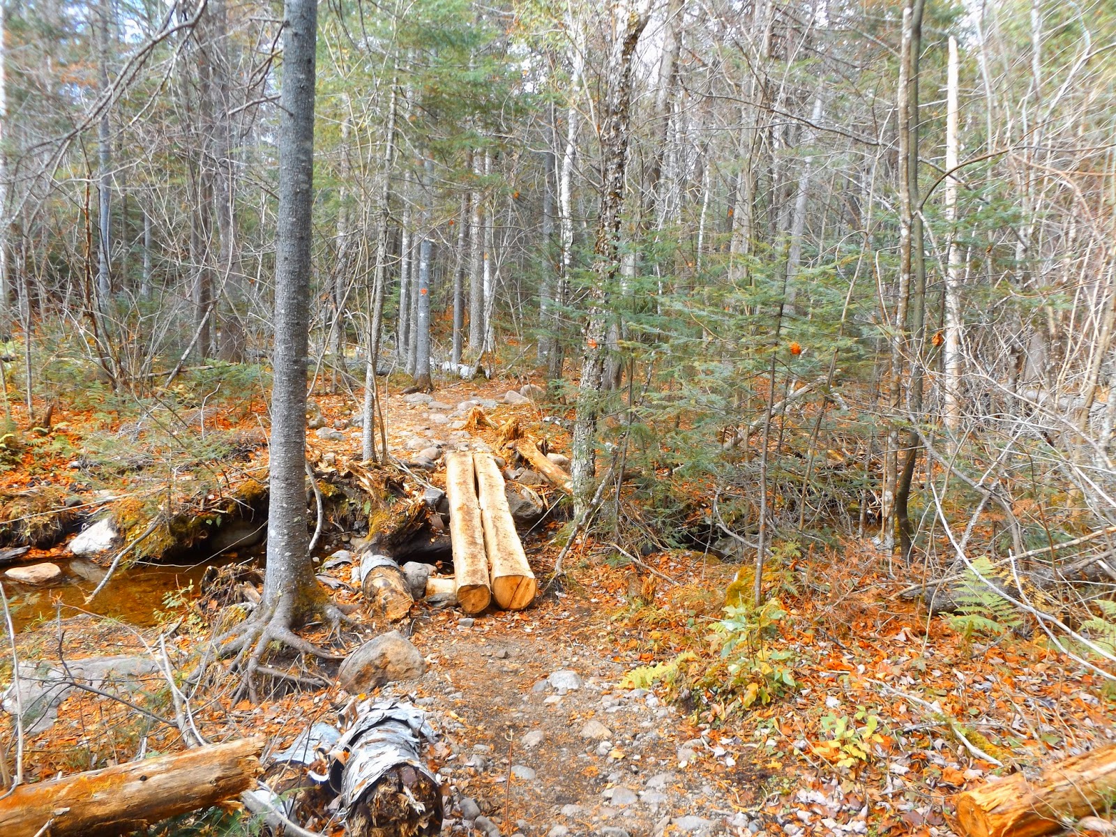
A new wooden bridge over a small stream.
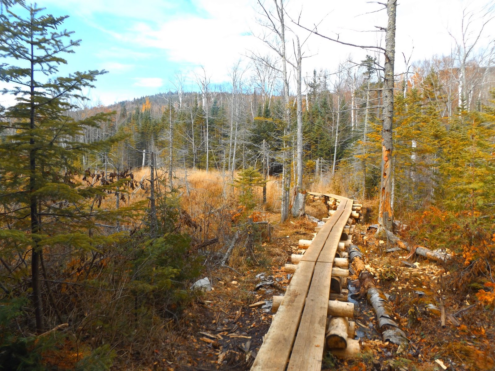
Wooden planks at a large beaver swamp.
There are a couple of different swampy areas that the trail traverses. Notice the clearing skies, which only lasted a few minutes.
Woods walking down the avenue of trees. Much of this section of trail is flat and easy walking.
A small cascade at a stream crossing.
The trail opens into a large hardwood area, with fallen leaves littering the ground.
Climbing.
An open, meadow like area where some broken views can be seen.
Muddy hiking through evergreens.
A nice sliver of a view through an opening in the trees.
More climbing up the muddy trail.
Large icicles, indicative of the recent cold, especially at high elevation.
Approaching an open vista.
An open area at about 2.1 miles into the hike, provides a great look up at Hurricane's summit and fire tower.
A zoomed in look up the steep, rocky slopes to the mountain top.
There was an abundance of mud on the trail, especially in the upper regions of the climb.
Approaching one of the last climbs up to the summit. Views already open up before you.
Once I got above 3000 feet or so, I began to see more and more traces of snow in the woods.
The north facing woods were holding onto the snow a bit longer.
A light coating.
Ice turning to water drops.
Had to break out the micro spikes to get up the last steep, icy section to the top.
Approaching a rocky vista.
A breathtaking panorama of the High Peaks just to the south.
Snow plastered trail signage near the summit.
Climbing up the open rocks above the last trees.
The entire summit area is wide open and rocky, making views available in all directions.
Looking to the east toward the firetower.
Looking south and west at the snow capped high peaks. Route 9N, near the parking area, can be seen winding far below.
Me. It was very cold and windy on the open summit and I had to put my gloves and hat on a few minutes after arriving there.
A closer look at many of the High Peaks.
The steps to the firetower have been removed due to deteriorating condition, meaning you can no longer climb it.
Looking at a couple other hikers on the open rock to the west.
Incredible southeast facing views with Lake Champlain's North Bay visible in the distance.
Incredible views surround you.
Some fall colors holding on to the east.
A northwest view from Hurricane's summit.
Southwest views.
Climbing back down the north side of the mountain in the snow.
A last look back at the steep south flank of Hurricane Mountain's upper slopes.
A quiet return walk along the wooden planks.
A great hike with great views on a mostly cloudy Monday afternoon. RT total 5.2 miles.


No comments:
Post a Comment